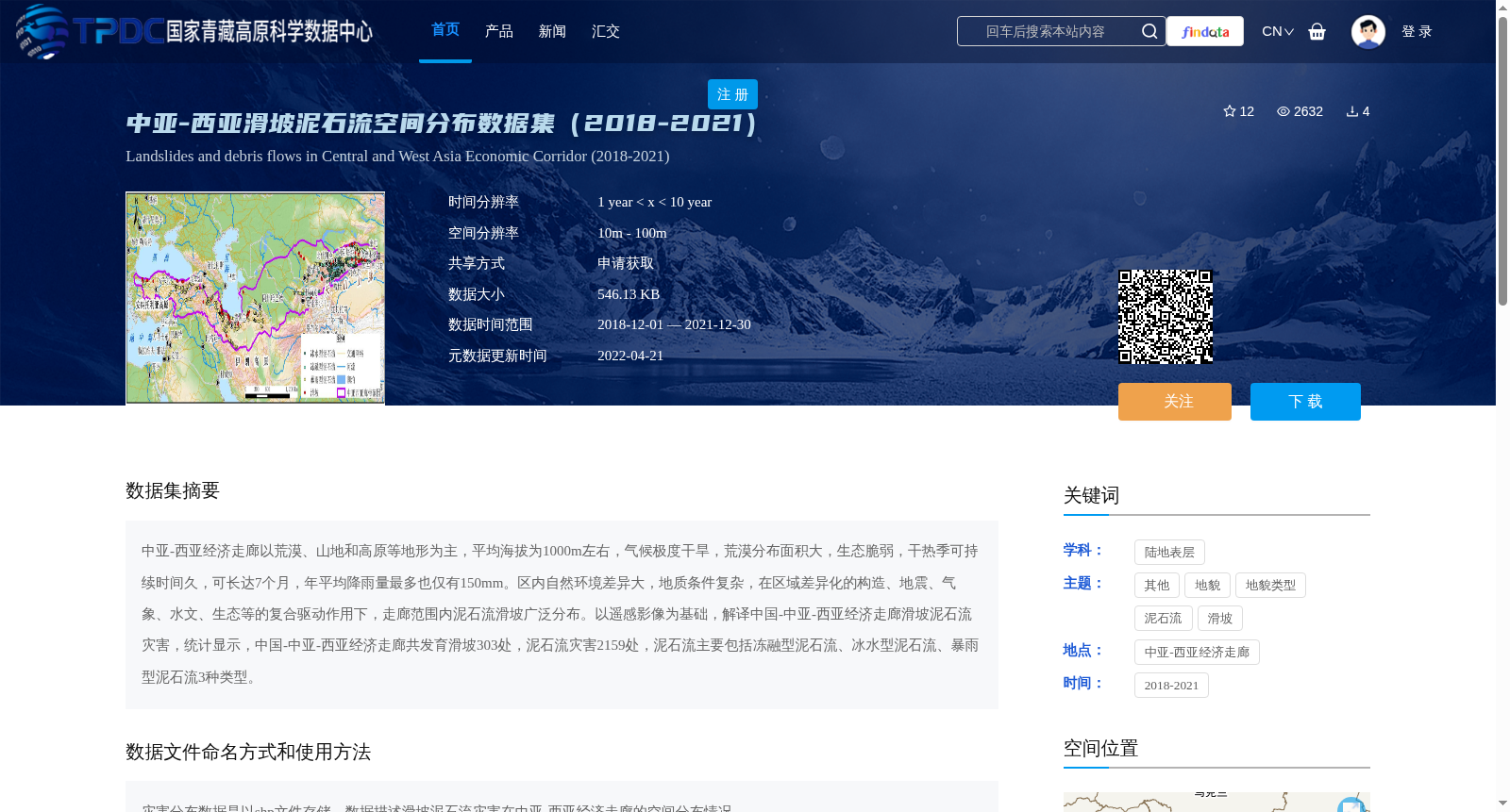
中亚-西亚滑坡泥石流空间分布数据集(2018-2021)
收藏资源简介:
中亚-西亚经济走廊以荒漠、山地和高原等地形为主,平均海拔为1000m左右,气候极度干旱,荒漠分布面积大,生态脆弱,干热季可持续时间久,可长达7个月,年平均降雨量最多也仅有150mm。区内自然环境差异大,地质条件复杂,在区域差异化的构造、地震、气象、水文、生态等的复合驱动作用下,走廊范围内泥石流滑坡广泛分布。以遥感影像为基础,解译中国-中亚-西亚经济走廊滑坡泥石流灾害,统计显示,中国-中亚-西亚经济走廊共发育滑坡303处,泥石流灾害2159处,泥石流主要包括冻融型泥石流、冰水型泥石流、暴雨型泥石流3种类型。
The China-Central Asia-West Asia Economic Corridor is dominated by terrains including deserts, mountains and plateaus, with an average elevation of approximately 1000 meters. The region features an extremely arid climate, extensive desert coverage, and an ecologically fragile environment. Dry-hot seasons can persist for up to 7 months, and the annual average rainfall is at most 150 mm. There are significant natural environmental disparities and complex geological conditions within the corridor. Under the combined driving effects of regional differentiated tectonic, seismic, meteorological, hydrological, ecological and other factors, landslides and debris flows are widely distributed across the corridor. Based on remote sensing imagery, landslide and debris flow disasters in the China-Central Asia-West Asia Economic Corridor were interpreted. Statistics show that a total of 303 landslides and 2159 debris flow disasters have developed in the corridor. The debris flows mainly fall into three categories: freeze-thaw debris flows, glacial-melt water debris flows, and rainstorm-induced debris flows.