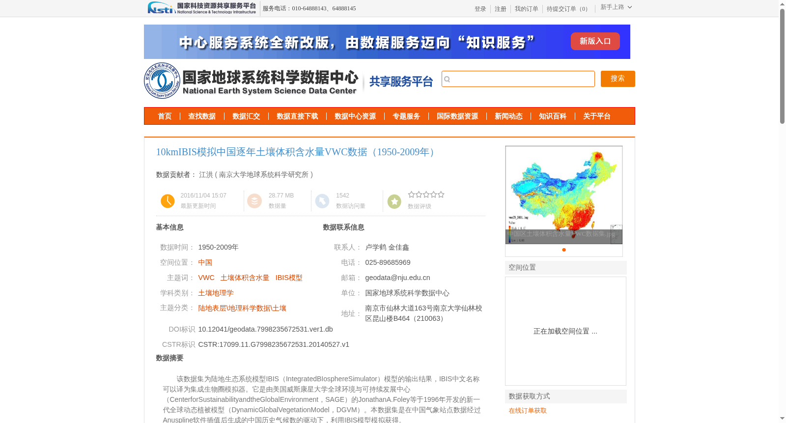
10kmIBIS模拟中国逐年土壤体积含水量VWC数据(1950-2009年)
收藏资源简介:
该数据集为陆地生态系统模型IBIS(IntegratedBIosphereSimulator)模型的输出结果,IBIS中文名称可以译为集成生物圈模拟器。它是由美国威斯康星大学全球环境与可持续发展中心(CenterforSustainabilityandtheGlobalEnvironment,SAGE)的JonathanA.Foley等于1996年开发的新一代全球动态植被模型(DynamicGlobalVegetationModel,DGVM)。本数据集是在中国气象站点数据经过Anuspline软件插值后生成的中国历史气候数的驱动下,利用IBIS模型模拟获得。
This dataset is the output of the terrestrial ecosystem model IBIS (Integrated Biosphere Simulator), whose Chinese name can be translated as Integrated Biosphere Simulator. Developed in 1996 by Jonathan A. Foley et al. from the Center for Sustainability and the Global Environment (SAGE) at the University of Wisconsin, USA, IBIS is a new-generation dynamic global vegetation model (DGVM). This dataset was generated through simulations using the IBIS model, which was forced by China's historical climate dataset interpolated from Chinese meteorological station data via the Anuspline software.