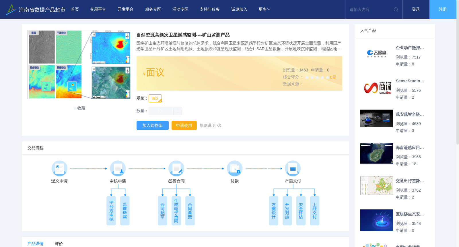
自然资源高频次卫星遥感监测----矿山监测产品
收藏资源简介:
围绕矿山生态环境治理与修复的总体需求,综合利用卫星多源遥感手段对矿区生态环境状况开展全面监测,利用国产光学卫星开展矿区土地利用现状、土地损毁和复垦现状监测;结合L-SAR卫星数据,开展地表沉降监测,塌陷区地裂缝、矸石场和沟谷的滑坡和崩塌等地质灾害监测,实现矿区生态环境的精细化监测,为矿区生态修复提供精准决策支持。
Centered on the overall demand for mine ecological environment governance and restoration, this dataset conducts full-coverage monitoring of the ecological environment of mining areas using integrated multi-source satellite remote sensing technologies. Specifically, domestic optical satellites are deployed to monitor the current status of land use, land damage and reclamation in mining areas; additionally, with the support of L-SAR satellite data, monitoring of surface subsidence and geological disasters such as ground cracks in subsidence zones, landslides and collapses at gangue dumps and gullies is implemented. This enables refined monitoring of the ecological environment in mining areas, providing accurate decision-making support for mine ecological restoration.