FIReStereo
收藏资源简介:
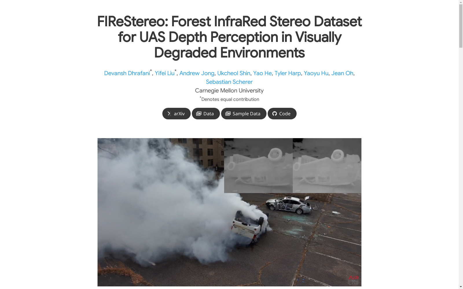
FIReStereo数据集由卡内基梅隆大学的研究团队创建,旨在为无人机的深度感知提供支持,特别是在视觉受损的环境中。该数据集包含204,594对立体红外图像,以及LiDAR、IMU和地面真值深度图,采集于城市和森林环境中,涵盖了白天、夜晚、雨天和烟雾等多种条件。数据集的创建过程包括在不同环境中进行数据采集,并使用Faster-LIO算法进行深度图的密集化处理。该数据集主要应用于灾难场景中的机器人感知,帮助无人机在烟雾等视觉受损环境中进行探索和操作。
The FIReStereo dataset was created by a research team from Carnegie Mellon University, with the goal of supporting depth perception for unmanned aerial vehicles (UAVs), especially in visually degraded environments. This dataset includes 204,594 pairs of stereo infrared images, as well as LiDAR, IMU, and ground-truth depth maps, and was collected across urban and forest environments, covering diverse conditions such as daytime, nighttime, rainy weather, and smoke. The dataset development process involves data collection in various environments and the densification of depth maps using the Faster-LIO algorithm. This dataset is mainly applied to robotic perception in disaster scenarios, helping UAVs conduct exploration and operation in visually degraded environments like those filled with smoke.