
Natural and Semi-Urban Dataset
收藏资源简介:
该数据集是一个高分辨率、短期多时相的数据集,旨在研究环境变化下的定位问题。数据集从2025年2月开始,每周收集一次,覆盖了自然和半城市环境。每个会话包括高密度点云图、360度全景图像和轨迹数据。该数据集为评估短期定位鲁棒性提供了一个结构化的数据集,并提供了在噪声下分析扫描到地图对准的框架,以及比较ICP在动态户外环境中性能的方法。
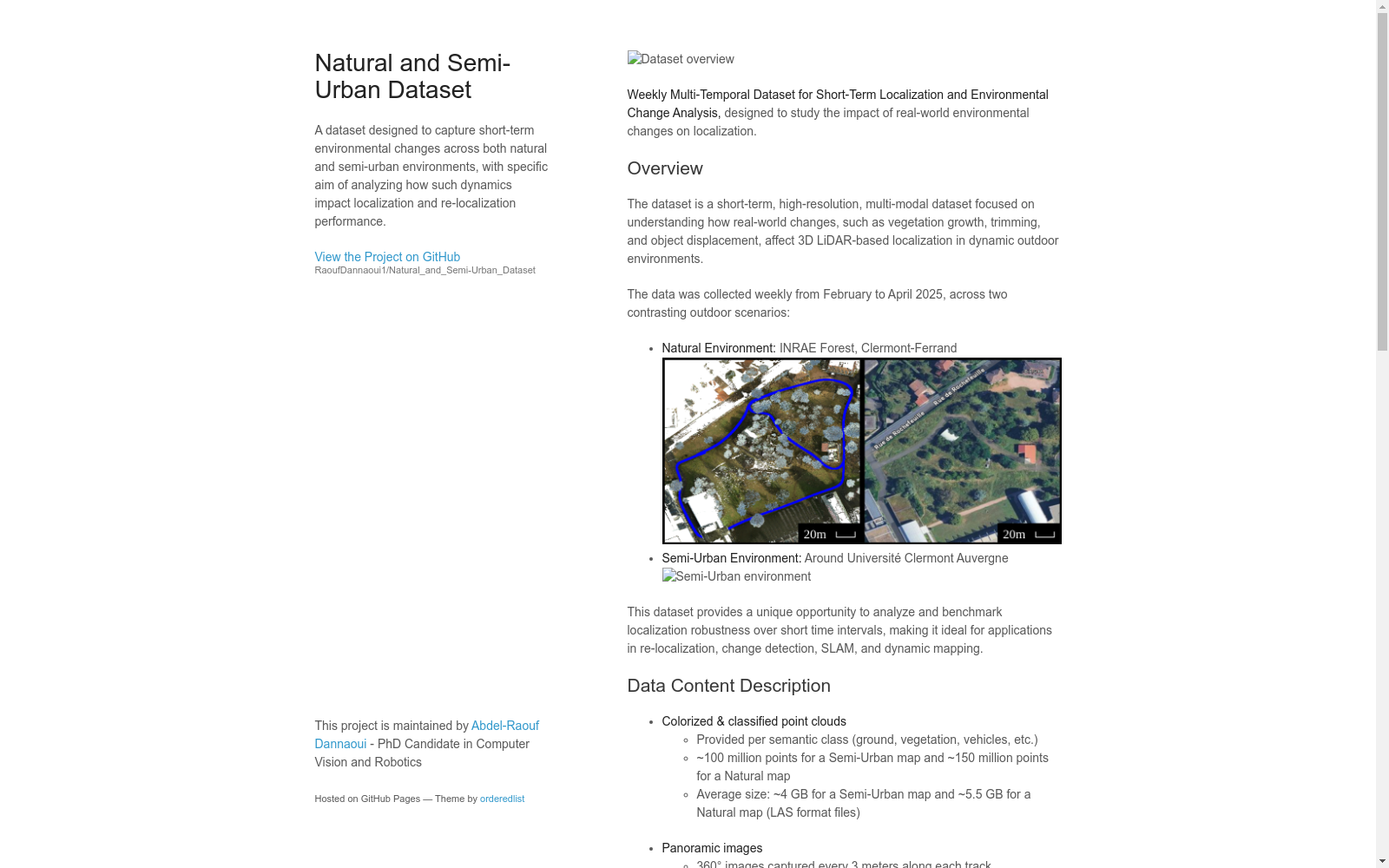
This high-resolution, short-term multi-temporal dataset is designed to investigate localization issues under varying environmental conditions. It was collected weekly starting from February 2025, spanning both natural and semi-urban environments. Each recording session contains high-density point clouds, 360-degree panoramic images, and trajectory data. This dataset serves as a structured benchmark for evaluating the robustness of short-term localization, providing a framework for analyzing scan-to-map alignment under noisy conditions and a methodology for comparing the performance of Iterative Closest Point (ICP) in dynamic outdoor environments.
- 1When and Where Localization Fails: An Analysis of the Iterative Closest Point in Evolving EnvironmentINRAE Clermont Ferrand, Northern Robotics Laboratory, Universite Laval, Institut Pascal, Clermont Auvergne INP, CNRS · 2025年


