喜马拉雅地区危险性冰湖遥感监测数据
收藏资源简介:
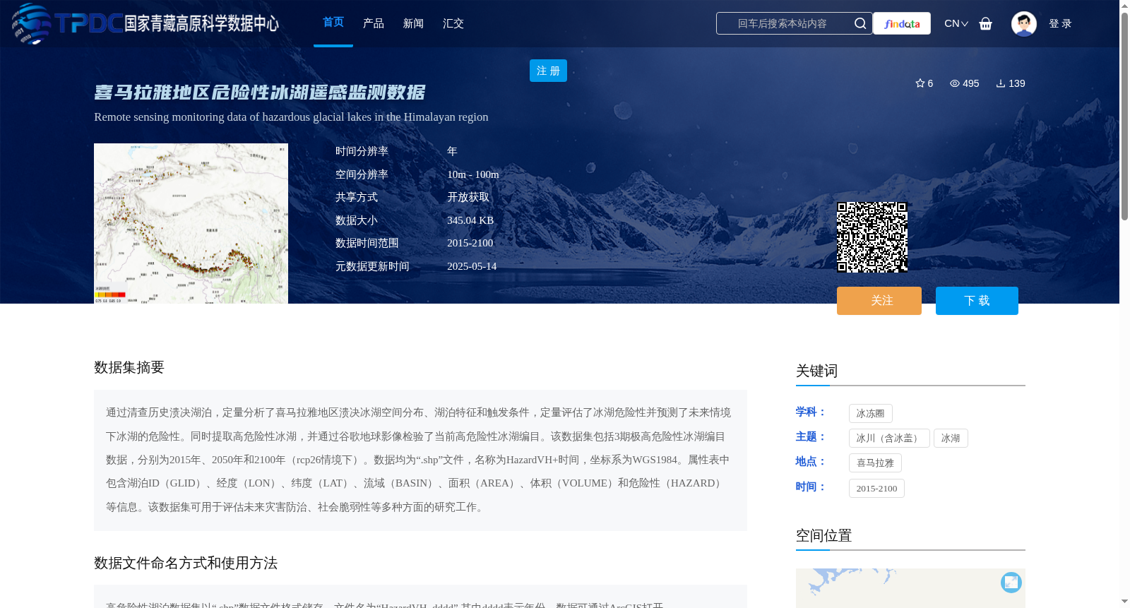
通过清查历史溃决湖泊,定量分析了喜马拉雅地区溃决冰湖空间分布、湖泊特征和触发条件,定量评估了冰湖危险性并预测了未来情境下冰湖的危险性。同时提取高危险性冰湖,并通过谷歌地球影像检验了当前高危险性冰湖编目。该数据集包括3期极高危险性冰湖编目数据,分别为2015年、2050年和2100年(rcp26情境下)。数据均为“.shp”文件,名称为HazardVH+时间,坐标系为WGS1984。属性表中包含湖泊ID(GLID)、经度(LON)、纬度(LAT)、流域(BASIN)、面积(AREA)、体积(VOLUME)和危险性(HAZARD)等信息。该数据集可用于评估未来灾害防治、社会脆弱性等多种方面的研究工作。
This dataset is developed based on inventorying historical glacial lake outburst flood (GLOF) events and related lakes. It quantitatively analyzes the spatial distribution, lake characteristics and triggering conditions of glacial lakes in the Himalayan region, conducts quantitative hazard assessment of glacial lakes, and predicts their hazard levels under future scenarios. Additionally, high-hazard glacial lakes were extracted, and the current high-hazard glacial lake inventory was validated using Google Earth imagery. This dataset contains three inventories of extremely high-hazard glacial lakes, corresponding to 2015, 2050 and 2100 (under the RCP2.6 scenario). All data are stored in .shp format, with file names formatted as HazardVH+[time], and the coordinate system is WGS 1984. The attribute table includes fields such as Lake ID (GLID), Longitude (LON), Latitude (LAT), Basin (BASIN), Area (AREA), Volume (VOLUME) and Hazard Level (HAZARD). This dataset can be applied to various research areas including future disaster prevention and mitigation, social vulnerability assessment and other related studies.