中国边境地区人类活动强度空间分布数据集(1992-2020)
收藏资源简介:
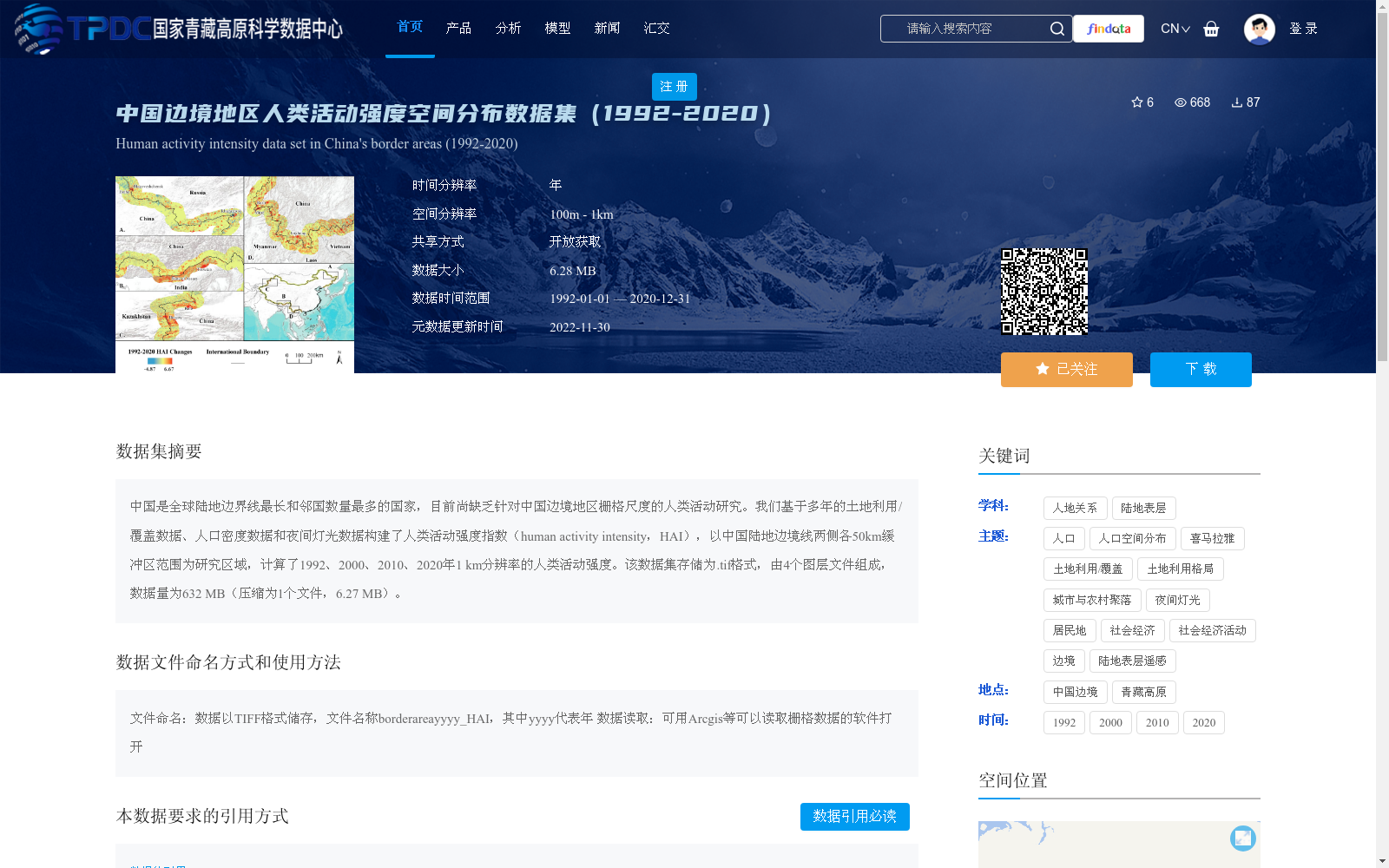
中国是全球陆地边界线最长和邻国数量最多的国家,目前尚缺乏针对中国边境地区栅格尺度的人类活动研究。我们基于多年的土地利用/覆盖数据、人口密度数据和夜间灯光数据构建了人类活动强度指数(human activity intensity,HAI),以中国陆地边境线两侧各50km缓冲区范围为研究区域,计算了1992、2000、2010、2020年1 km分辨率的人类活动强度。该数据集存储为.tif格式,由4个图层文件组成,数据量为632 MB(压缩为1个文件,6.27 MB)。
China has the longest land border and the largest number of neighboring countries in the world. Currently, there is a lack of research on human activities at the grid scale in China's border regions. We constructed the Human Activity Intensity (HAI) index based on long-term land use/cover data, population density data, and nighttime light data. Taking the buffer zone of 50 km on both sides of China's land border as the study area, we calculated the human activity intensity at 1 km resolution for the years 1992, 2000, 2010, and 2020. This dataset is stored in .tif format, consisting of 4 layer files, with a total data volume of 632 MB (compressed to 1 file, 6.27 MB).