SRTM3 90M数字高程模型产品
收藏资源简介:
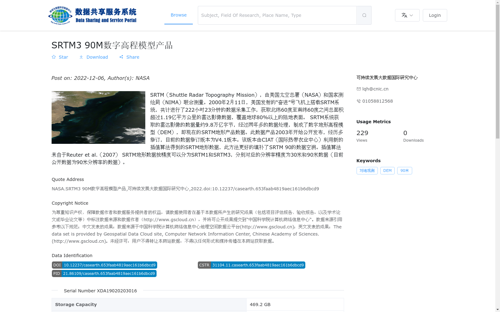
SRTM(Shuttle Radar Topography Mission),由美国太空总署(NASA)和国家测绘局(NIMA)联合测量。2000年2月11日,美国发射的“奋进”号飞机上搭载SRTM系统,共计进行了222小时23分钟的数据采集工作,获取北纬60度至南纬60度之间总面积超过1.19亿平方公里的雷达影像数据,覆盖地球80%以上的陆地表面。 SRTM系统获取的雷达影像的数据量约9.8万亿字节,经过两年多的数据处理,制成了数字地形高程模型(DEM),即现在的SRTM地形产品数据。此数据产品2003年开始公开发布,经历多修订,目前的数据修订版本为V4.1版本。该版本由CIAT(国际热带农业中心)利用新的插值算法得到的SRTM地形数据,此方法更好的填补了SRTM 90的数据空洞。插值算法来自于Reuter et al.(2007) SRTM地形数据按精度可以分为SRTM1和SRTM3,分别对应的分辨率精度为30米和90米数据(目前公开数据为90米分辨率的数据)。
SRTM (Shuttle Radar Topography Mission) was jointly surveyed by the National Aeronautics and Space Administration (NASA) and the National Imagery and Mapping Agency (NIMA). On February 11, 2000, the SRTM system was mounted on the Space Shuttle Endeavour launched by the United States, and a total of 222 hours and 23 minutes of data collection was conducted. Radar image data covering a total area of over 119 million square kilometers between 60°N and 60°S was acquired, accounting for more than 80% of the Earth's land surface. The total data volume of the radar images obtained by the SRTM system was approximately 9.8 trillion bytes. After more than two years of data processing, digital elevation models (DEM) were produced, which are the current SRTM topographic product data. This data product was publicly released starting in 2003, and has undergone multiple revisions; the latest revised version is V4.1. This version of SRTM topographic data was developed by the International Center for Tropical Agriculture (CIAT) using a novel interpolation algorithm, which effectively fills the data voids in the original SRTM 90 dataset. The interpolation algorithm is sourced from Reuter et al. (2007). SRTM topographic data is classified into two accuracy grades: SRTM1 and SRTM3, with corresponding spatial resolutions of 30 meters and 90 meters respectively. Currently, the publicly available data is the 90-meter resolution dataset.