2002-2018年全球AMSR-E/2近地表冻融状态产品数据集(0.05°)
收藏资源简介:
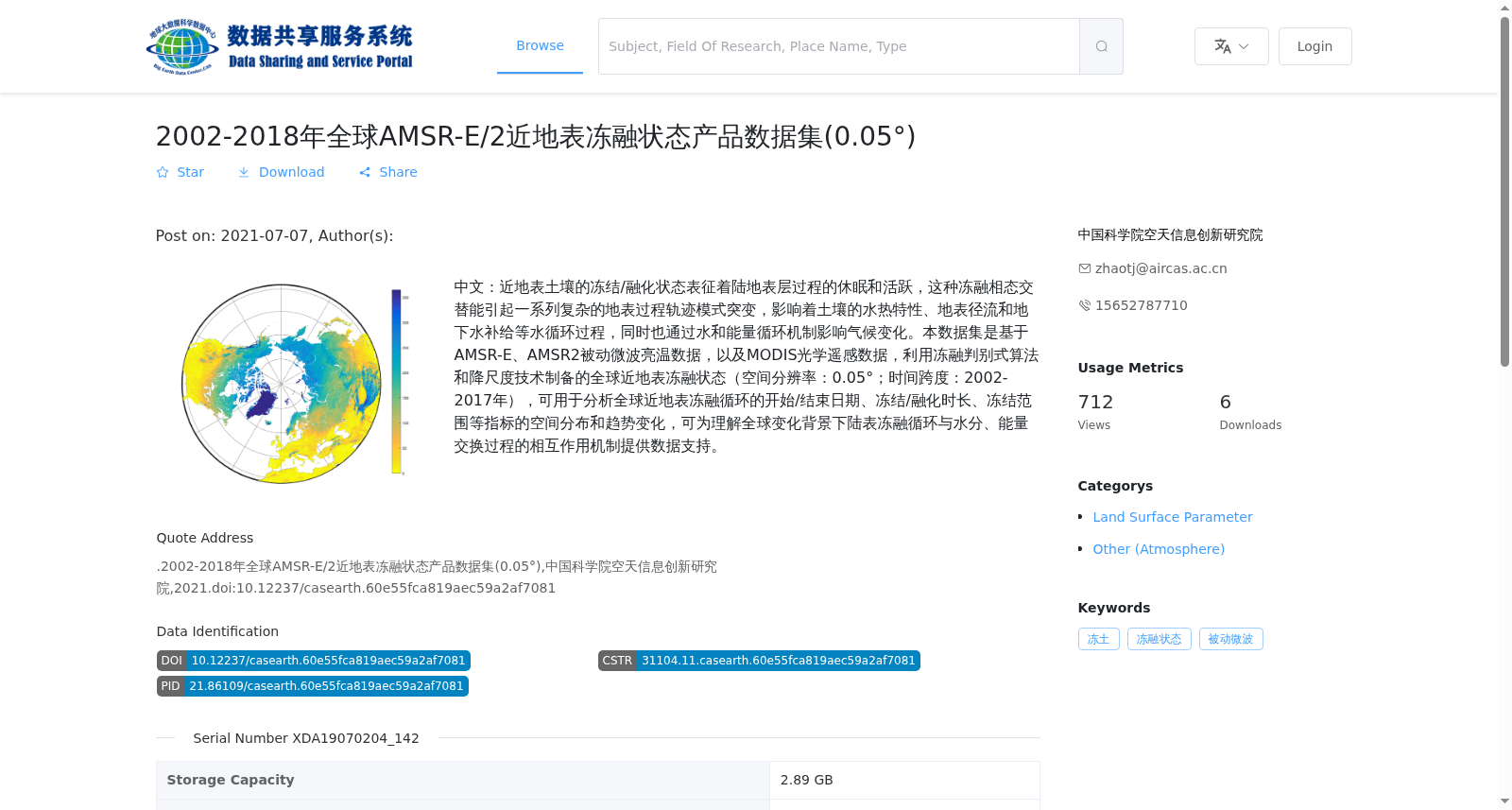
中文:近地表土壤的冻结/融化状态表征着陆地表层过程的休眠和活跃,这种冻融相态交替能引起一系列复杂的地表过程轨迹模式突变,影响着土壤的水热特性、地表径流和地下水补给等水循环过程,同时也通过水和能量循环机制影响气候变化。本数据集是基于AMSR-E、AMSR2被动微波亮温数据,以及MODIS光学遥感数据,利用冻融判别式算法和降尺度技术制备的全球近地表冻融状态(空间分辨率:0.05°;时间跨度:2002-2017年),可用于分析全球近地表冻融循环的开始/结束日期、冻结/融化时长、冻结范围等指标的空间分布和趋势变化,可为理解全球变化背景下陆表冻融循环与水分、能量交换过程的相互作用机制提供数据支持。
The freeze/thaw state of near-surface soil characterizes the dormant and active phases of land surface layer processes. Such alternation between freeze and thaw phases can trigger a series of abrupt changes in the trajectory patterns of complex land surface processes, affecting hydrological cycles such as soil hydrothermal properties, surface runoff and groundwater recharge, while also influencing climate change through water and energy cycle mechanisms. This global near-surface freeze/thaw state dataset was developed using freeze-thaw discrimination algorithms and downscaling techniques, based on AMSR-E, AMSR2 passive microwave brightness temperature data and MODIS optical remote sensing data. It has a spatial resolution of 0.05° and covers the period from 2002 to 2017. This dataset can be used to analyze the spatial distribution and trend changes of indicators such as the start/end dates of global near-surface freeze-thaw cycles, freeze/thaw duration and freeze extent, providing data support for understanding the interaction mechanisms between land surface freeze-thaw cycles and water and energy exchange processes under the context of global change.