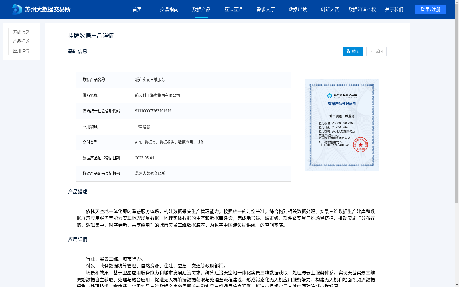
城市实景三维服务
收藏资源简介:
依托天空地一体化即时遥感服务体系,构建数据采集生产管理能力,按照统一的时空基准,综合构建相关数据处理、实景三维数据生产建库和数据展示应用服务等能力实现地理场景数据、地理实体数据的生产和数据库建设,完成地形级、城市级、部件级实景三维场景搭建,推动实施“分布存储、逻辑集中、时序更新、共享应用”的城市实景三维数据底座,为数字中国建设提供统一的空间基底。
Relying on the sky-air-ground integrated real-time remote sensing service system, this dataset develops capabilities for data collection, production and management. Based on a unified spatio-temporal benchmark, it comprehensively builds capacities including relevant data processing, real-scene 3D data production and database construction, as well as data display and application services, to achieve the production and database construction of geographic scene data and geographic entity data. It completes the construction of real-scene 3D scenes at the terrain, urban and component levels, and promotes the implementation of the urban real-scene 3D data infrastructure with the features of "distributed storage, logical centralization, temporal update and shared application", so as to provide a unified spatial foundation for the construction of Digital China.