2000、2010和2020年中国30m典型城市绿地空间组分产品数据
收藏资源简介:
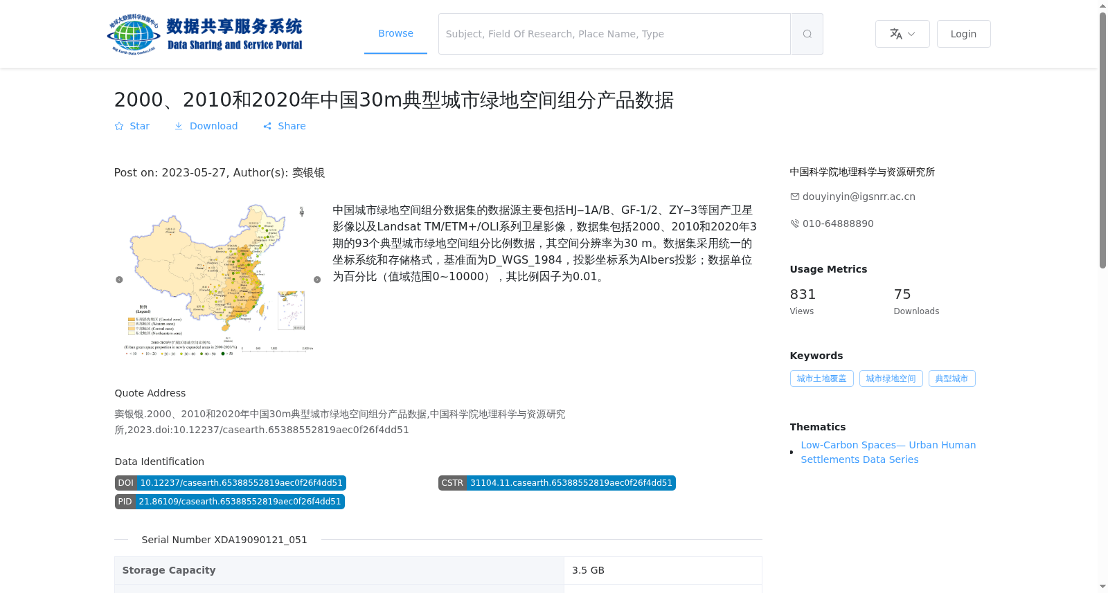
中国城市绿地空间组分数据集的数据源主要包括HJ‒1A/B、GF-1/2、ZY‒3等国产卫星影像以及Landsat TM/ETM+/OLI系列卫星影像,数据集包括2000、2010和2020年3期的93个典型城市绿地空间组分比例数据,其空间分辨率为30 m。数据集采用统一的坐标系统和存储格式,基准面为D_WGS_1984,投影坐标系为Albers投影;数据单位为百分比(值域范围0~10000),其比例因子为0.01。
The data sources of the China Urban Green Space Spatial Composition Dataset primarily consist of domestic satellite imagery including HJ-1A/B, GF-1/2, ZY-3, alongside Landsat TM/ETM+/OLI series satellite imagery. The dataset encompasses green space spatial composition proportion data for 93 typical cities across three time periods (2000, 2010, and 2020), with a spatial resolution of 30 m. A unified coordinate system and storage format are employed for the dataset, where the geodetic datum is D_WGS_1984 and the projected coordinate system is Albers projection. The data unit is percentage, with a value range of 0–10000 and a scaling factor of 0.01.