
粤港澳大湾区交通图
收藏南海海洋数据中心2024-03-01 收录
官方服务:
资源简介:
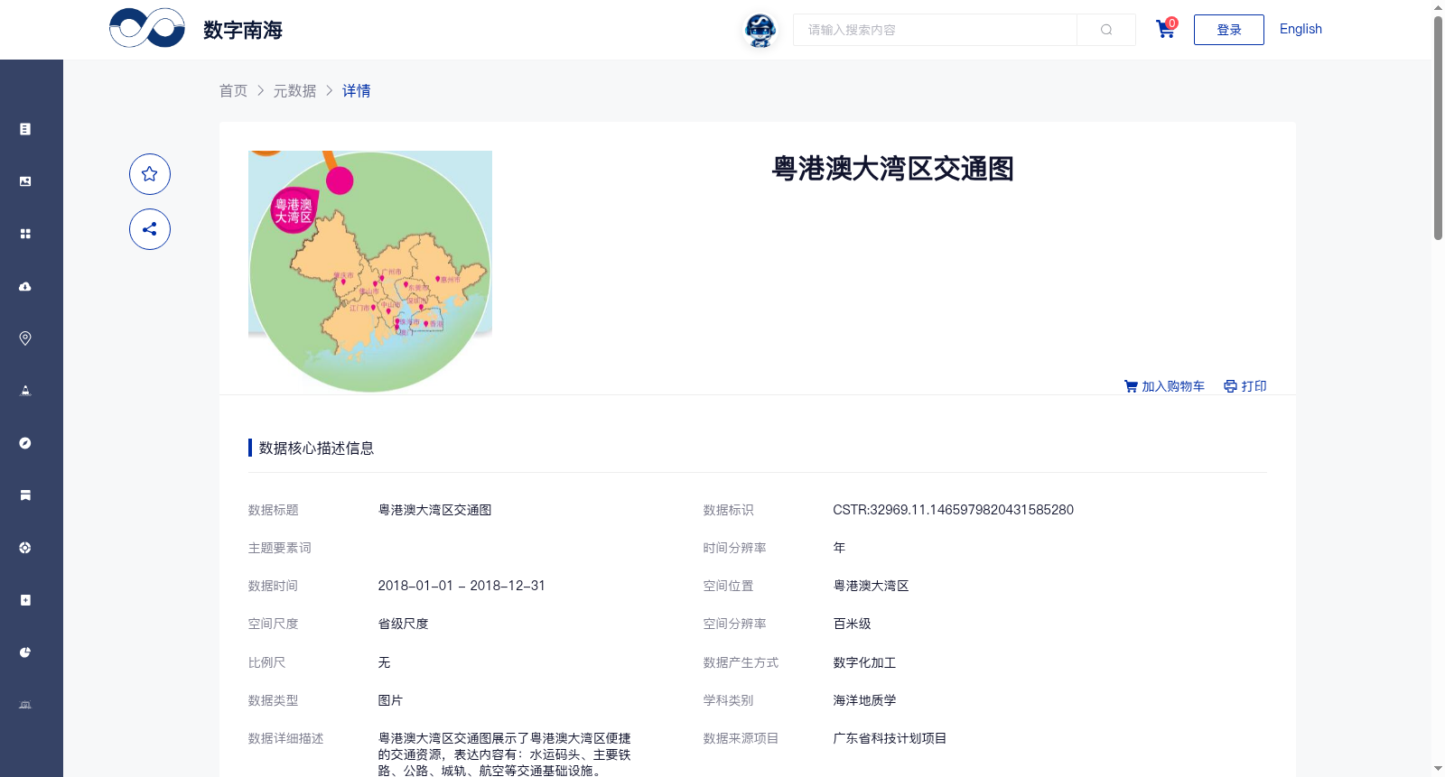
粤港澳大湾区交通图展示了粤港澳大湾区便捷的交通资源,表达内容有:水运码头、主要铁路、公路、城轨、航空等交通基础设施。
The Guangdong-Hong Kong-Macao Greater Bay Area Transportation Map displays the convenient transportation resources within the Guangdong-Hong Kong-Macao Greater Bay Area, covering transportation infrastructure including water transport terminals, major railways, highways, urban rail transit, aviation facilities and the like.
提供机构:
广州海洋地质调查局搜集汇总
数据集介绍
背景与挑战
背景概述
该数据集为2018年粤港澳大湾区的交通基础设施图片数据,空间分辨率为百米级,涵盖水运码头、铁路、公路、城轨和航空等要素。数据由广州海洋地质调查局通过数字化加工生产,质量可靠且完全开放共享,适用于海洋地质学及相关领域的研究与应用。
以上内容由遇见数据集搜集并总结生成


