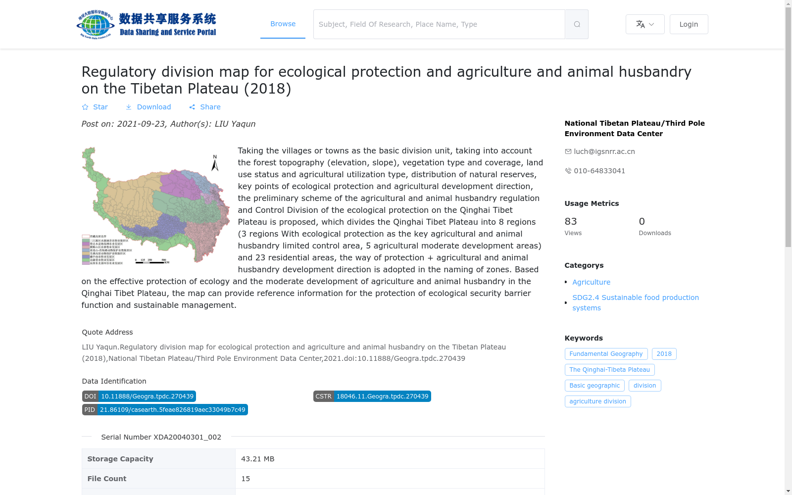
青藏高原生态保护和农牧业调控区划图(2018)
收藏资源简介:
青藏高原生态保护和农牧业调控区划图以乡镇为基本划分单元,综合考虑地形(海拔、坡度)、植被类型和盖度、土地利用现状和农业利用类型、自然保护区分布,以及生态保护重点和农业发展方向,提出了青藏高原面向生态保护的农牧业调控分区方案,将青藏高原划分为8个区(3个以生态保护为重点农牧业限控区、5个农业适度发展区)和23个小区,分区命名采用保护+农牧业发展方向的方式。该分区图旨在有效保护生态大基础上,适度发展青藏高原农牧业,可为保障生态安全屏障功能和可持续管理提供参考信息。
The zoning map for ecological conservation and agricultural and animal husbandry regulation on the Qinghai-Tibet Plateau takes townships as the basic delineation units. It comprehensively considers topography (elevation, slope), vegetation types and coverage, current land use status and agricultural utilization types, distribution of nature reserves, as well as key ecological conservation priorities and agricultural development directions, and proposes a zoning scheme for agricultural and animal husbandry regulation oriented towards ecological conservation on the plateau. The map divides the Qinghai-Tibet Plateau into 8 major zones (3 ecological conservation-focused agricultural and animal husbandry restricted control zones and 5 moderately agricultural development zones) and 23 sub-zones, with the naming of each zone following the pattern of "conservation + agricultural and animal husbandry development direction". This zoning map aims to moderately develop the agricultural and animal husbandry industry of the Qinghai-Tibet Plateau on the premise of effectively protecting the overall ecological foundation, and can provide valuable reference information for safeguarding the ecological security barrier function and facilitating sustainable management.