Data-Gouv-FR/synthese-des-mutations-immobilieres-sur-rennes-metropole-dvf
收藏资源简介:
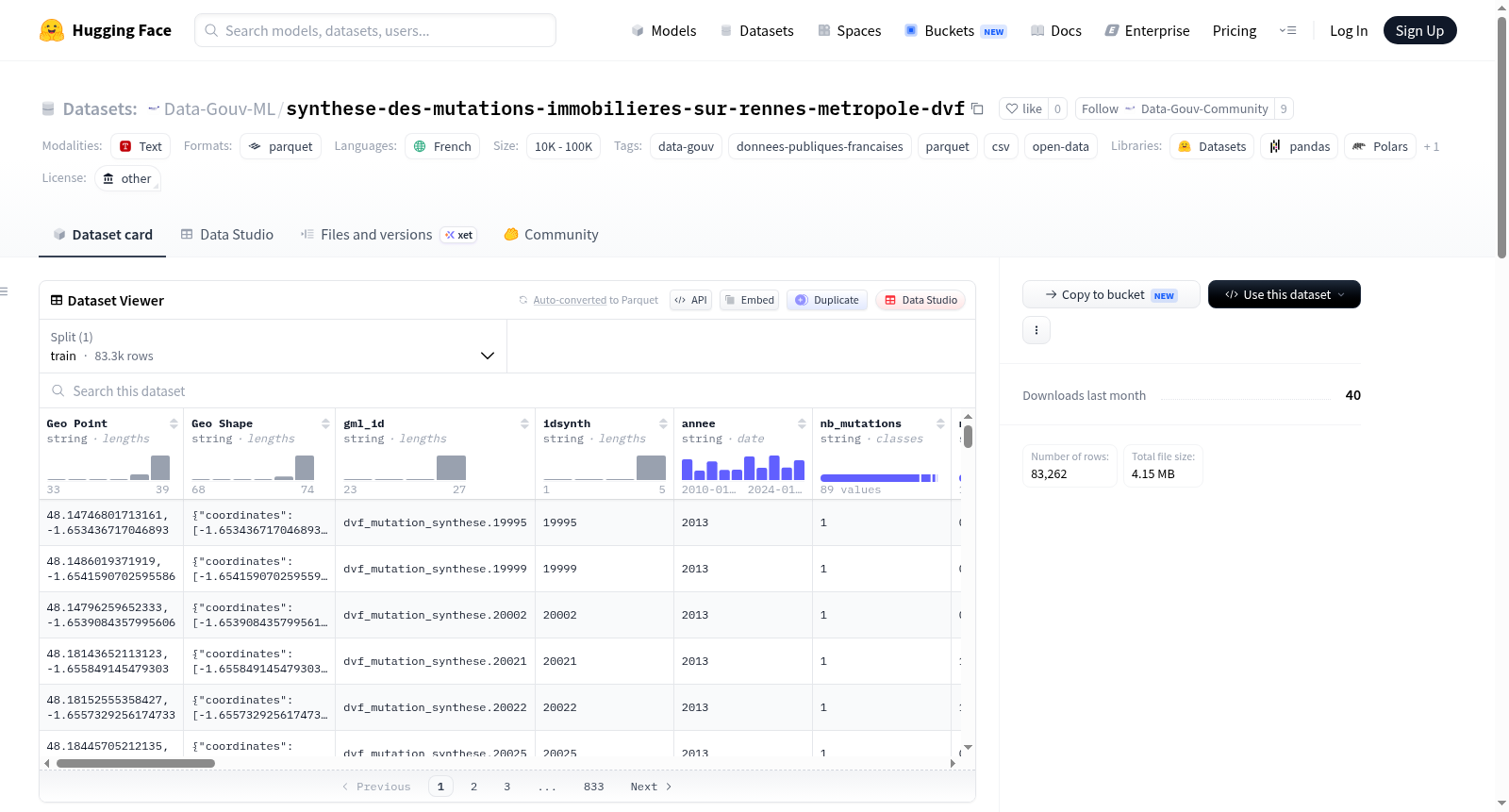
该数据集是一个点图层,用于可视化近年来有偿不动产交易的DVF(地价申报)数据。DVF数据库的发布有助于土地和房地产市场的透明度。该数据层中的不动产交易数据来源于地价申报,并经过CEREMA(法国生态转型与国土协调部下属机构)生产的土地档案(DV3F数据)的丰富,从而便于其利用和分析。数据可追溯至2010年1月,涵盖整个雷恩都会区。每个点代表同年同一地块上发生的一组不动产交易,以提供房地产交易的全局视图。统计数据在属性中呈现,包括:唯一标识符(idsynth)、年份(annee)、分组交易数量(nb_mutations)、已交易房产数量(nb_locauxmutes)、各类房产数量(如房屋、公寓、附属建筑、商业用房、土地)以及每平方米平均价格和价格范围(最低价和最高价)。该数据层需与雷恩都会区不动产交易(DVF)图层和市镇及子街区不动产交易统计(DVF)图层结合使用。数据使用指南附在元数据表中。
This point layer allows visualization of DVF (land value declaration) data corresponding to paid real estate transactions in recent years. The dissemination of the DVF database contributes to the transparency of land and real estate markets. The real estate transactions in this data layer are derived from Land Value Declarations enriched with Land Files produced by CEREMA (DV3F data), thus facilitating their exploitation and analysis. Data dates back to January 2010 and covers the entire Rennes Metropolis area. A point represents a grouping of real estate transactions that occur on the same parcel(s) per year to provide an overview of property transactions. Statistics are presented in attributes as follows: unique identifier (idsynth), year (annee), number of grouped transactions (nb_mutations), number of transferred properties (nb_locauxmutes), counts of various property types (houses, apartments, dependencies, activity premises, land), average price per square meter, and price ranges (minimum and maximum prices). This layer should be used in conjunction with the Real Estate Transactions on Rennes Metropolis (DVF) layer and the Statistics of Real Estate Transactions at Municipality and Sub-neighborhood Level (DVF) layer. A user guide for this data layer on the Rennes Metropolis Geographic Data Portal is attached to this metadata sheet.