
中国近海地貌数据集(渤海,黄海,东海)
收藏地球大数据科学工程2022-11-01 更新2025-12-20 收录
下载链接:
https://data.casearth.cn/dataset/636e17eb819aec5df66b51cd
下载链接
链接失效反馈官方服务:
资源简介:
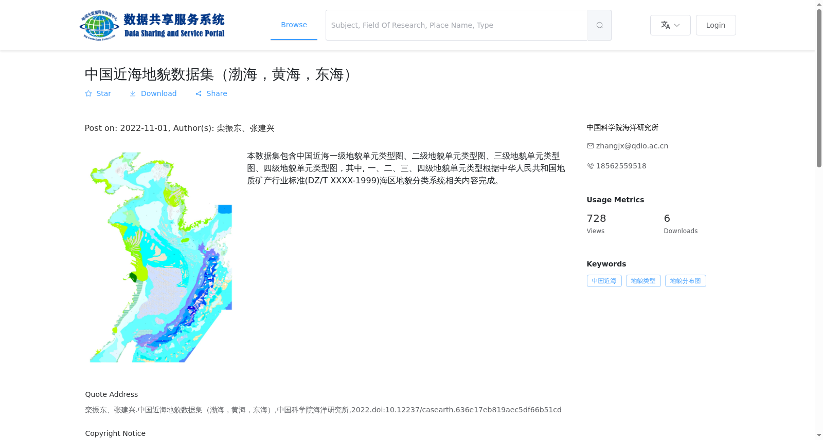
本数据集包含中国近海一级地貌单元类型图、二级地貌单元类型图、三级地貌单元类型图、四级地貌单元类型图,其中, 一、二、三、四级地貌单元类型根据中华人民共和国地质矿产行业标准(DZ/T XXXX-1999)海区地貌分类系统相关内容完成。
This dataset includes geomorphic unit type maps at four hierarchical levels (first, second, third, and fourth) for China's offshore waters. The classification of these first- to fourth-level geomorphic units was compiled in accordance with the relevant provisions of the marine geomorphological classification system specified in the Industry Standard for Geology and Mineral Resources of the People's Republic of China (DZ/T XXXX-1999).
创建时间:
2022-11-01
搜集汇总
数据集介绍
背景与挑战
背景概述
中国近海地貌数据集(渤海,黄海,东海)由中国科学院海洋研究所于2022年发布,包含基于地质矿产行业标准(DZ/T XXXX-1999)的一至四级地貌单元类型图,以栅格数据格式(如jpg、shp)提供,覆盖中国近海的渤海、黄海和东海区域,用于地貌分类和分布研究。
以上内容由遇见数据集搜集并总结生成

暂无相关数据集


