黄土高原不同治理阶段侵蚀强度结构变化空间分布图(1955-2009年)数据集
收藏资源简介:
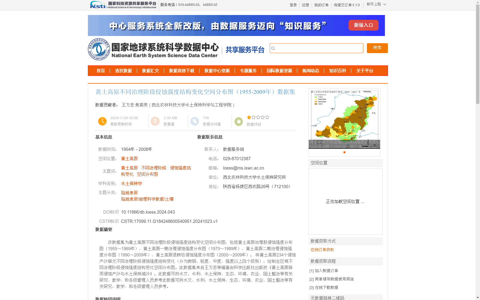
该数据集为黄土高原不同治理阶段侵蚀强度结构变化空间分布图,包括黄土高原治理前侵蚀强度分布图(1955~1969年)、黄土高原一期治理侵蚀强度分布图(1970~1989年)、黄土高原二期治理侵蚀强度分布图(1990~2009年)、黄土高原退耕后侵蚀强度分布图(2000~2009年)。 将黄土高原234个侵蚀产沙单元不同治理阶段侵蚀强度结构变化(分为微弱、轻度、中度、强度以上四个级别),绘制全区域不同治理阶段侵蚀强度结构变化空间分布图。此数据集来自王万忠等编著由科学出版社出版的《黄土高原降雨侵蚀产沙与水土保持减沙》。此数据可供水文、水利、水土保持、生态、环境、农业、国土整治等有关研究、教学、和各级管理人员参考此数据可供水文、水利、水土保持、生态、环境、农业、国土整治等有关研究、教学、和各级管理人员参考。
This dataset comprises a series of spatial distribution maps depicting changes in erosion intensity structure across different soil and water conservation governance stages of the Loess Plateau. It includes the erosion intensity distribution map of the Loess Plateau prior to comprehensive governance (1955–1969), the first-phase governance erosion intensity distribution map (1970–1989), the second-phase governance erosion intensity distribution map (1990–2009), and the post-Grain for Green Program erosion intensity distribution map (2000–2009). By analyzing the structural changes in erosion intensity (classified into four tiers: negligible, slight, moderate, and severe and above) of 234 erosion and sediment yield units across the Loess Plateau for each governance stage, the spatial distribution maps of erosion intensity structural changes for the entire region under each stage were generated. This dataset is sourced from *Rainfall Erosion, Sediment Yield and Sediment Reduction by Soil and Water Conservation on the Loess Plateau*, compiled by Wang Wanzhong et al. and published by Science Press. This data can be utilized as a reference for relevant researchers, educators, and management personnel at all levels working in the fields of hydrology, water conservancy, soil and water conservation, ecology, environmental science, agriculture, land consolidation and other related disciplines.