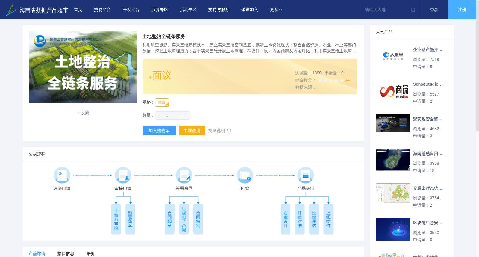
土地整治全链条服务
收藏资源简介:
利用航空摄影、实景三维建模技术,建立实景三维空间基底,摸清土地资源现状;整合自然资源、农业、林业等部门数据,挖掘土地整理潜力;基于实景三维开展土地整理工程设计,设计方案预演及方案对比;利用实景三维土地整治管理系统进行施工交底,监控施工进程等;土地整理竣工后,建立整治后实景三维模型,利用新一代信息技术整合,通过人工智能、物联网(IOT)、大数据分析,提升土地整理后产业导入、运营、管护等各方面管理水平,推动土地整治 与产业运营良性发展。
Leveraging aerial photography and real-scene 3D modeling technologies, a real-scene 3D spatial base is first established to clarify the current status of land resources. Then, data from departments including natural resources, agriculture, and forestry is integrated to tap the potential of land consolidation. Next, land consolidation project design, design scheme rehearsal and scheme comparison are conducted based on the real-scene 3D base. Subsequently, the real-scene 3D land remediation management system is utilized to conduct construction handover and monitor construction progress, among other tasks. Finally, upon completion of land consolidation, a post-remediation real-scene 3D model is established, integrated with new-generation information technologies, and the management capabilities across all aspects including industry introduction, operation, and maintenance following land consolidation are improved via artificial intelligence, Internet of Things (IOT), and big data analysis, thereby promoting the healthy development of land remediation and industrial operation.