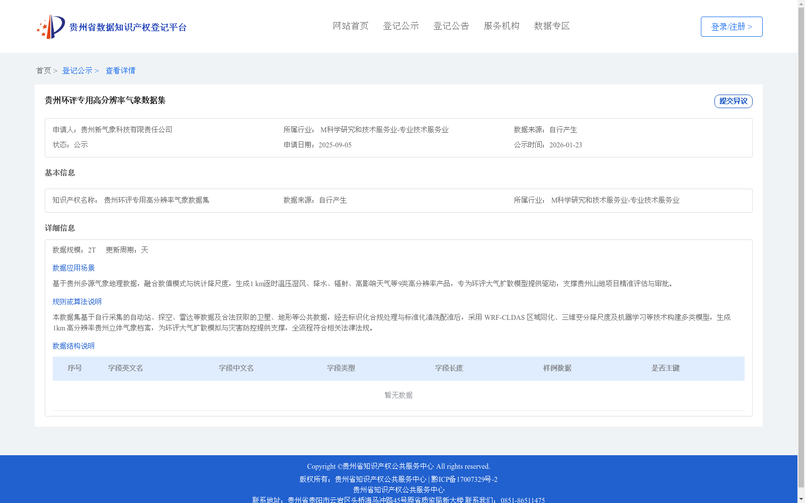
贵州环评专用高分辨率气象数据集
收藏资源简介:
本数据集基于自行采集的自动站、探空、雷达等数据及合法获取的卫星、地形等公共数据,经去标识化合规处理与标准化清洗配准后,采用 WRF-CLDAS 区域同化、三维变分降尺度及机器学习等技术构建多类模型,生成 1km 高分辨率贵州立体气象档案,为环评大气扩散模拟与灾害防控提供支撑,全流程符合相关法律法规。
This dataset is constructed using self-collected automatic weather station, sounding, and radar data, plus legally acquired public data including satellite and topographic data. Following compliant de-identification processing, standardized cleaning and registration, multiple models are developed via technologies such as WRF-CLDAS regional data assimilation, 3D variational downscaling, and machine learning, to produce a 1-kilometer high-resolution three-dimensional meteorological archive for Guizhou Province. This dataset supports atmospheric dispersion simulation for environmental impact assessment (EIA) and disaster prevention and control, with the entire workflow complying with relevant laws and regulations.