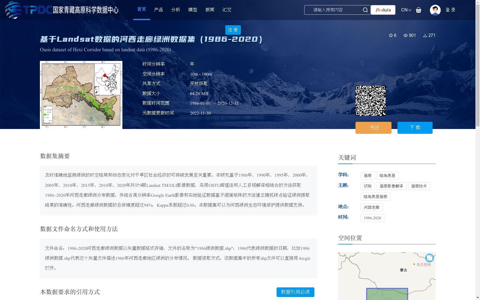
基于Landsat数据的河西走廊绿洲数据集(1986-2020)
收藏资源简介:
及时准确地监测绿洲的时空格局和动态变化对干旱区社会经济的可持续发展至关重要。本研究基于1986年、1990年、1995年、2000年、2005年、2010年、2015年、2018年、2020年共计9期Landsat TM/OLI影像数据,采用OSTU阈值法和人工目视解译相结合的方法获取1986~2020年河西走廊绿洲分布数据,并结合高分辨率Google Earth影像和实地验证数据基于混淆矩阵的方法建立随机样点验证绿洲提取结果的准确性。河西走廊绿洲数据的总体精度超过94%,Kappa系数超过0.88。本数据集可以为河西绿洲生态环境保护提供数据支持。
Timely and accurate monitoring of the spatiotemporal patterns and dynamic changes of oases is critically important for the sustainable socio-economic development of arid regions. This study utilized 9 phases of Landsat TM/OLI remote sensing images acquired in 1986, 1990, 1995, 2000, 2005, 2010, 2015, 2018 and 2020, and combined Otsu's thresholding method with manual visual interpretation to extract the oasis distribution data of the Hexi Corridor from 1986 to 2020. Furthermore, random sampling points were established based on the confusion matrix method, combined with high-resolution Google Earth images and field validation data, to verify the accuracy of the extracted oasis results. The overall accuracy of the Hexi Corridor oasis dataset exceeds 94%, and the Kappa coefficient is higher than 0.88. This dataset can provide data support for the ecological environment protection of the Hexi Corridor oases.