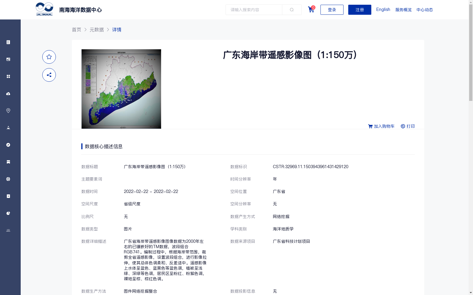
广东海岸带遥感影像图(1:150万)
收藏资源简介:
广东省海岸带遥感影像图像数据为2000年左右的已镶嵌好的TM数据,波段组合RGB741。编制过程中,根据海岸带范围,裁剪全省遥感影像,设置波段组合,进行影像拉伸,使其总体色调柔和、反差适中。遥感影像上水体呈蓝色、蓝黑色等蓝色调,植被呈浅绿、深绿等色调,居民区呈粉红、粉紫色调,裸地呈棕、棕红色调。
The remote sensing image dataset for the coastal zone of Guangdong Province consists of well-mosaicked TM data acquired around 2000, using the RGB741 band combination. During the compilation process, the provincial remote sensing images were cropped based on the coastal zone extent, the specified band combination was configured, and image stretching was conducted to achieve a soft overall tone and moderate contrast. On these remote sensing images, water bodies appear in blue hues such as blue and dark blue-black, vegetation exhibits tones including light green and dark green, residential areas present pink and pink-purple hues, and bare land shows brown and reddish-brown tones.