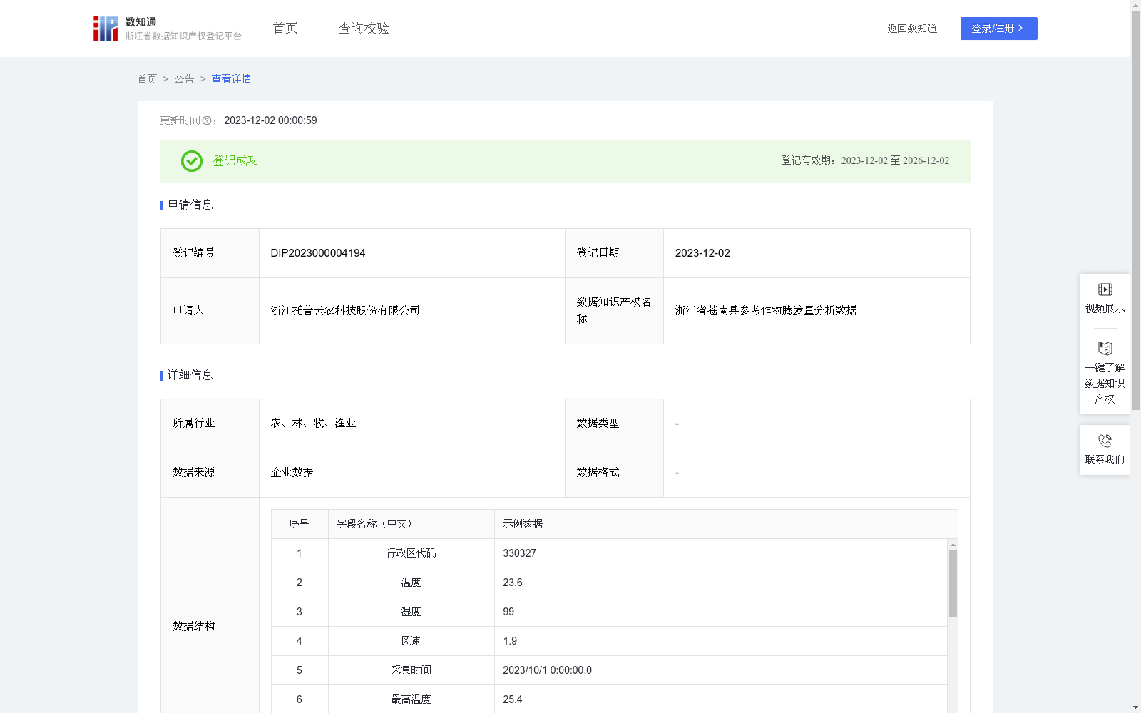
浙江省苍南县参考作物腾发量分析数据
收藏资源简介:
该数据主要通过采集智慧农业气象站设备上的温度、湿度、风速等数据,分析计算参考作物腾发量ET0,为农田水分盈亏分析提供数据支撑,指导农田科学灌溉和排水,从而提高作物的产量和质量。1、数据来源 通过智慧农业气象站设备实时采集空气温度、湿度和风速,以一定采集周期上传即时数据。 2、数据处理 对采集到的数据进行去重、合并,按照区域分类、统计处理,计算出每日太阳净辐射量(W/m²)、平均温度(℃)、平均风速(m/s)、平均饱和蒸汽压(Pa)、环境湿度(%rh)、大气压值斜率、空气湿度等参数,基于这些参数,计算参考作物腾发量ET0: ET0=0.408*(每日太阳净辐射量-土壤热通量)*大气压值斜率/(大气压值斜率+(空气湿度常数*(1+0.34*平均风速)))+900*平均风速/(平均温度+273.15)*(平均饱和蒸汽压-环境湿度)*空气湿度常数/(大气压值斜率+(psy*(1+0.34*平均风速))) 3、数据应用:通过长期ET0数据跟踪与分析,实现对该区域农田的蒸发蒸腾监测,为灌溉和排水提供数据支撑,从而提高作物的产量和质量。
This dataset primarily collects data including air temperature, humidity, wind speed and other relevant parameters from smart agricultural weather station devices, analyzes and calculates the reference crop evapotranspiration (ET0) to provide data support for farmland water surplus and deficit analysis, guide scientific irrigation and drainage of farmlands, and thereby improve crop yield and quality. 1. Data Source Air temperature, humidity and wind speed are collected in real-time via smart agricultural weather station devices, and real-time data is uploaded at a fixed collection interval. 2. Data Processing The collected data is deduplicated, merged, classified by region and statistically processed. Parameters including daily net solar radiation (W/m²), average temperature (℃), average wind speed (m/s), average saturated vapor pressure (Pa), ambient humidity (%rh), atmospheric pressure slope and air humidity are calculated. Based on these parameters, the reference crop evapotranspiration ET0 is calculated using the following formula: ET0 = 0.408 × (Daily net solar radiation - Soil heat flux) × Atmospheric pressure slope / (Atmospheric pressure slope + (Humidity constant × (1 + 0.34 × Average wind speed))) + 900 × Average wind speed / (Average temperature + 273.15) × (Average saturated vapor pressure - Ambient humidity) × Humidity constant / (Atmospheric pressure slope + (psy × (1 + 0.34 × Average wind speed))) 3. Data Application Through long-term tracking and analysis of ET0 data, this dataset enables evapotranspiration monitoring of farmlands in the target region, providing data support for irrigation and drainage, thereby improving crop yield and quality.