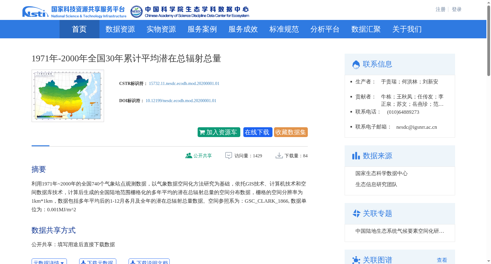
1971年-2000年全国30年累计平均潜在总辐射总量
收藏资源简介:
利用1971年~2000年的全国740个气象站点观测数据,以气象数据空间化方法研究为基础,依托GIS技术、计算机技术和空间数据库技术,计算后生成的全国陆地范围栅格化的多年平均的潜在总辐射总量的空间分布数据,栅格的空间分辨率为1km*1km,数据包括多年平均后的1-12月各月及全年的潜在总辐射总量数据。空间参照系为:GSC_CLARK_1866, 数据单位为:0.001MJ/m^2
This rasterized spatial distribution dataset of multi-year averaged total potential solar radiation over terrestrial China was generated using observational data from 740 national meteorological stations spanning 1971 to 2000. The dataset is based on meteorological data spatialization methods, and supported by GIS, computer and spatial database technologies. It has a spatial resolution of 1 km × 1 km, and contains total potential solar radiation data for each month from January to December as well as the annual total after multi-year averaging. The spatial reference system is GSC_CLARK_1866, and the data unit is 0.001 MJ/m².