
Eastwind Glacier Geophysical Surveys ON Top Of Antarctic iceShelf Transition
收藏Mendeley Data2024-03-27 更新2024-06-27 收录
下载链接:
https://www.fdsn.org/networks/detail/XS_2023/
下载链接
链接失效反馈官方服务:
资源简介:
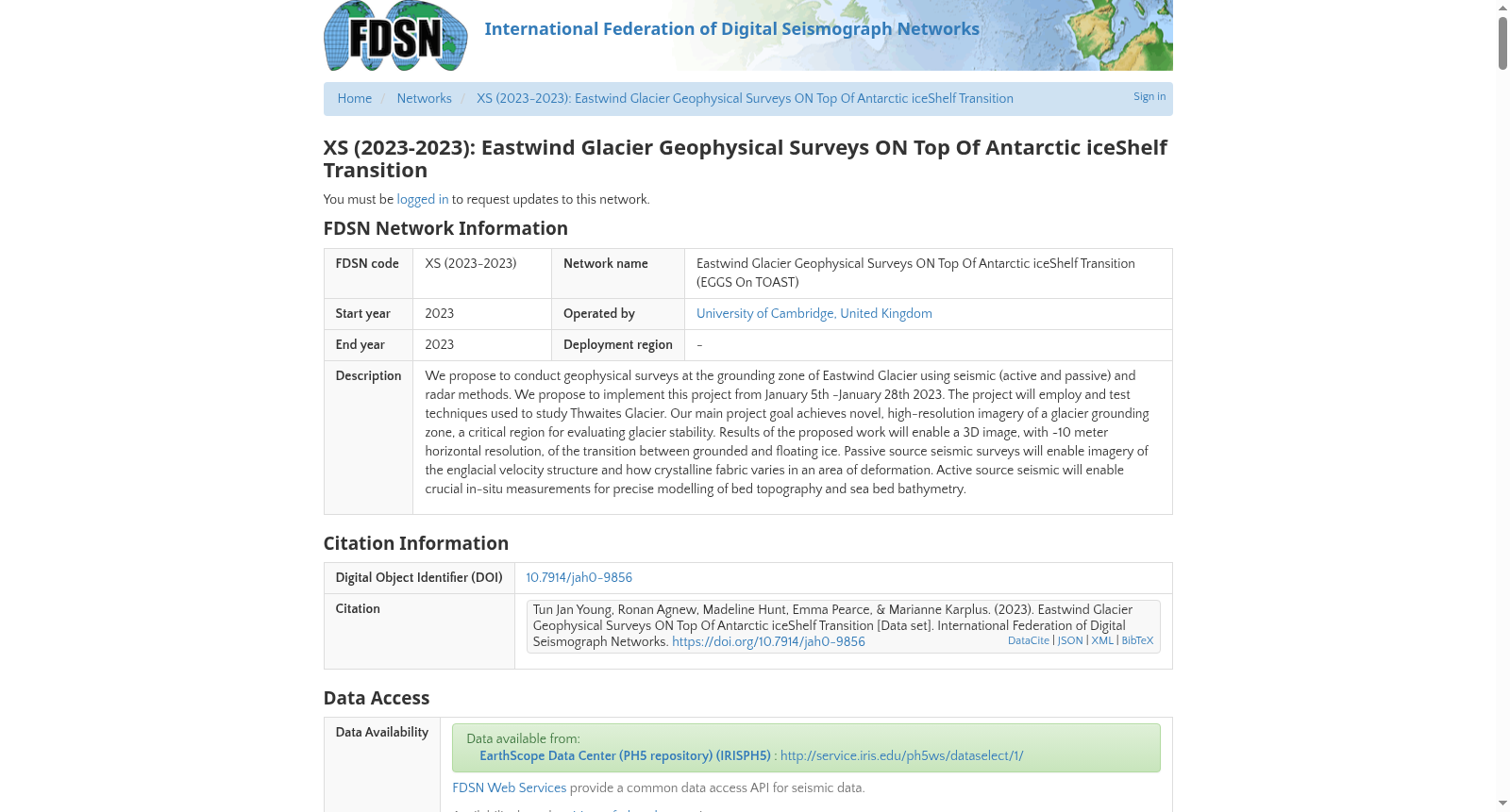
We propose to conduct geophysical surveys at the grounding zone of Eastwind Glacier using seismic (active and passive) and radar methods. We propose to implement this project from January 5th -January 28th 2023. The project will employ and test techniques used to study Thwaites Glacier. Our main project goal achieves novel, high-resolution imagery of a glacier grounding zone, a critical region for evaluating glacier stability. Results of the proposed work will enable a 3D image, with ~10 meter horizontal resolution, of the transition between grounded and floating ice. Passive source seismic surveys will enable imagery of the englacial velocity structure and how crystalline fabric varies in an area of deformation. Active source seismic will enable crucial in-situ measurements for precise modelling of bed topography and sea bed bathymetry.
本研究拟采用地震(主动源与被动源)及雷达探测方法,对东风冰川(Eastwind Glacier)的接地带开展地球物理勘探。本项目拟于2023年1月5日至1月28日实施,将采用并测试适用于思韦茨冰川(Thwaites Glacier)研究的相关技术。本项目的核心目标是获取冰川接地带的新型高分辨率成像数据——该区域是评估冰川稳定性的关键区域。本研究的预期成果可生成水平分辨率约10米的固定冰与浮冰过渡带三维影像。被动源地震勘探可获取冰内速度结构数据,以及变形区域内晶体组构的变化特征;主动源地震则可提供关键的原位测量数据,用于床层地形与海底地形测深的精准建模。
创建时间:
2023-06-28
搜集汇总
数据集介绍
背景与挑战
背景概述
该数据集是2023年由剑桥大学在南极东风冰川接地带进行的地球物理勘测数据,综合使用主动和被动地震及雷达方法,旨在获取高分辨率三维图像以评估冰川稳定性,并测量冰内结构和海底地形。数据通过EarthScope数据中心公开,包含多个站点记录,对冰川动力学研究具有关键价值。
以上内容由遇见数据集搜集并总结生成


