
中国1:25万DEM数据库
收藏中国科技资源共享网2026-07-09 更新2026-01-30 收录
下载链接:
https://escience.org.cn/metadata/detail?cstrId=CSTR:11738.11.ncdc.nieer.2020.1334&id=9bc0652f0dce29823c0c9842001ae890:CSTR:11738.11.ncdc.nieer.2020.1334
下载链接
链接失效反馈官方服务:
资源简介:
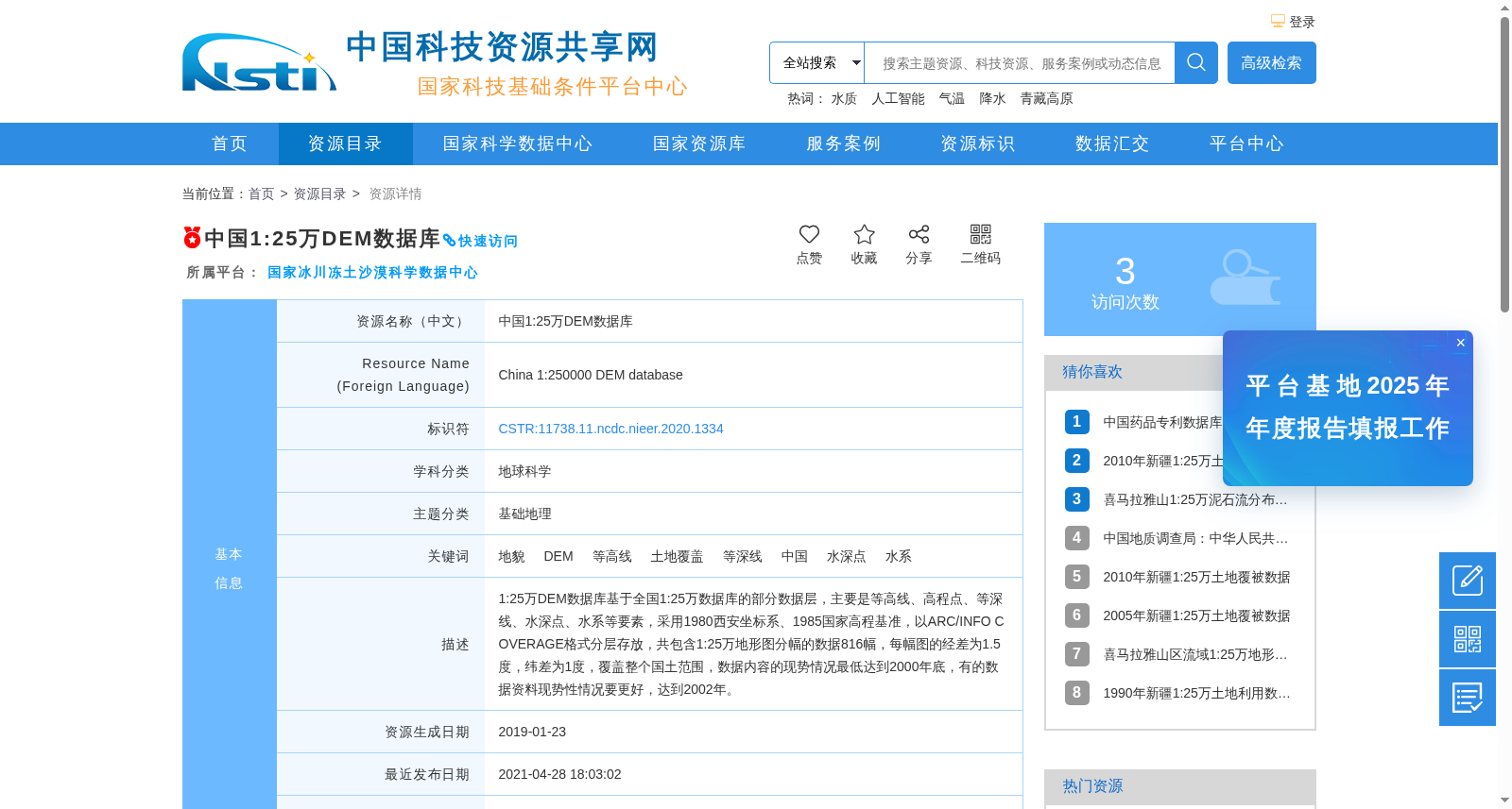
1:25万DEM数据库基于全国1:25万数据库的部分数据层,主要是等高线、高程点、等深线、水深点、水系等要素,采用1980西安坐标系、1985国家高程基准,以ARC/INFO COVERAGE格式分层存放,共包含1:25万地形图分幅的数据816幅,每幅图的经差为1.5度,纬差为1度,覆盖整个国土范围,数据内容的现势情况最低达到2000年底,有的数据资料现势性情况要更好,达到2002年。
The 1:250,000-scale Digital Elevation Model (DEM) database is constructed using partial data layers from the national 1:250,000-scale database, primarily encompassing contour lines, elevation points, depth contours, sounding points, hydrological features and other related elements. It adopts the 1980 Xi'an Coordinate System and the 1985 National Height Datum, and is stored hierarchically in ARC/INFO COVERAGE format. The database comprises a total of 816 tiled sheets of 1:250,000-scale topographic maps, with each sheet having a longitudinal interval of 1.5 degrees and a latitudinal interval of 1 degree, covering the entire national territory. The timeliness of the dataset is no later than the end of 2000, while some data materials exhibit higher timeliness, dating back to the year 2002.
提供机构:
国家冰川冻土沙漠科学数据中心创建时间:
2021-04-28
搜集汇总
数据集介绍
背景与挑战
背景概述
中国1:25万DEM数据库是一个覆盖全国范围的地形高程数据集,基于1:25万比例尺的等高线、高程点、等深线、水深点和水系等要素构建,采用1980西安坐标系和1985国家高程基准,以ARC/INFO COVERAGE格式存储,包含816幅分幅数据,现势性最低为2000年底。该数据集通过线上完全共享方式提供,用户需注册并提交协议申请获取。
以上内容由遇见数据集搜集并总结生成


