GloSoFarID
收藏资源简介:
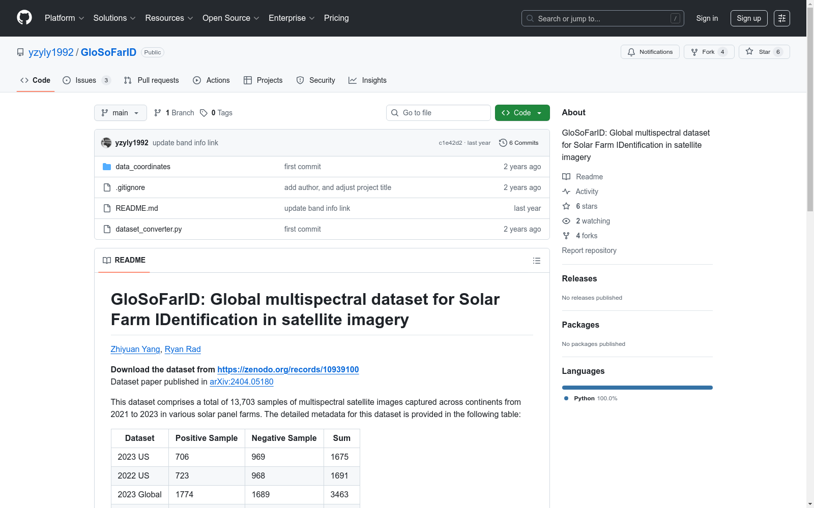
GloSoFarID是全球首个用于太阳能农场识别的卫星多光谱图像数据集,由东北大学温哥华分校计算机科学学院创建。该数据集包含13,703个样本,覆盖2021至2023年,涵盖全球多个地区的农村和城市区域。数据集通过整合历史全球地面实况、手动标注的美国地面实况和Sentinel-2多光谱卫星图像构建,每个样本包含13个多光谱波段,分辨率为256×256像素。GloSoFarID旨在通过提供精确的太阳能农场分布和增长数据,支持全球清洁能源转型的决策制定,解决全球能源可持续性问题。
GloSoFarID is the world's first satellite multispectral image dataset for solar farm identification, created by the School of Computer Science, Northeastern University Vancouver Campus. This dataset contains 13,703 samples, covering the years 2021 to 2023, and encompasses rural and urban areas across multiple global regions. The dataset is constructed by integrating historical global ground truth, manually annotated US ground truth, and Sentinel-2 multispectral satellite imagery. Each sample includes 13 multispectral bands with a resolution of 256×256 pixels. GloSoFarID aims to support decision-making for global clean energy transition by providing precise data on the distribution and growth of solar farms, addressing global energy sustainability issues.