中国及其周边地区冰川作用流域边界数据集(1950-2020)
收藏资源简介:
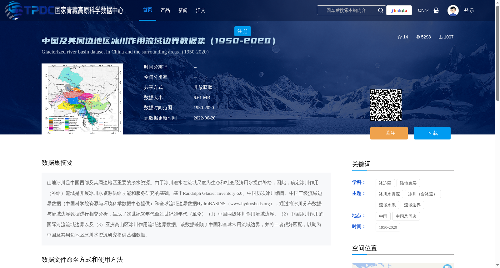
山地冰川是中国西部及其周边地区重要的淡水资源。由于冰川融水在流域尺度为生态和社会经济用水提供补给,因此,确定冰川作用(补给)流域是开展冰川水资源供给功能和服务研究的基础。基于Randolph Glacier Inventory 6.0、中国历次冰川编目、中国三级流域边界数据(中国科学院资源与环境科学数据中心提供)和全球流域边界数据HydroBASINS(www.hydrosheds.org),通过将冰川分布数据与流域边界数据进行相交分析,生成了20世纪50年代至21世纪20年代(至今)(1)中国两级冰川作用流域边界、(2)中国冰川作用的国际河流流域边界以及(3)亚洲高山区冰川作用流域边界数据。该数据兼顾了中国和全球常用流域边界,并将二者很好匹配,以期为中国及其周边地区冰川水资源研究提供基础数据。
Mountain glaciers serve as critical freshwater resources in western China and its surrounding regions. Since glacier meltwater replenishes ecological and socio-economic water supplies at the watershed scale, identifying glacier-fed watersheds is the foundational prerequisite for research on the supply functions and services of glacial water resources. Based on the Randolph Glacier Inventory 6.0, China's successive national glacier inventories, China's third-level watershed boundary data (provided by the Data Center for Resources and Environmental Sciences, Chinese Academy of Sciences), and the global watershed boundary dataset HydroBASINS (www.hydrosheds.org), we conducted spatial intersection analysis between glacier distribution data and watershed boundary datasets to generate three categories of glacierized watershed boundary datasets spanning from the 1950s to the 2020s (present day): (1) two-level glacierized watershed boundaries within China; (2) watershed boundaries of international river basins in China fed by glaciers; and (3) glacierized watershed boundary datasets in the High Mountain Asia region. This dataset integrates both commonly adopted watershed boundary standards in China and globally, and properly aligns the two systems, with the aim of providing fundamental data for research on glacial water resources in China and its surrounding regions.