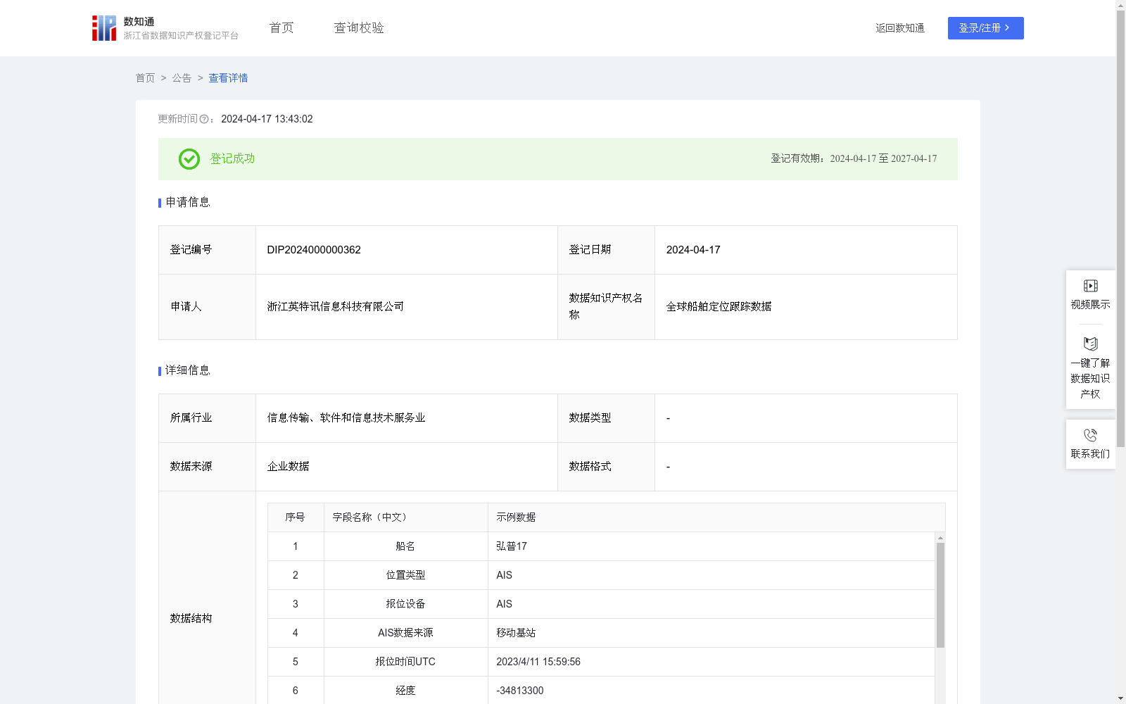
全球船舶定位跟踪数据
收藏资源简介:
提供用户查询全球船舶当前最新位置的功能1、数据采集:通过安装在船端的移动基站和卫星网络采集全球船舶的纬度、经度及船舶静态信息。并根据航速是否合理过滤掉跳点和冒用的数据,将清洗过的数据存入数据库表格。 2、数据更新:收到新船位后,替换掉当前船位数据表格中的数据。 3、数据展示:当前船位表格数据显示到海图上,根据海图层级,对船舶进行合理抽稀,形成全球AIS船舶分布状态图。
This dataset enables users to query the real-time latest positions of global vessels. Its core processing and display procedures are as follows: 1. Data Collection: Collect latitude, longitude and static vessel information of global vessels via mobile base stations and satellite networks deployed on ship terminals. Filter out outliers and spoofed data by verifying the rationality of ship speed, then store the cleaned data into database tables. 2. Data Update: Upon receiving new vessel position data, overwrite the corresponding records in the existing current vessel position data table. 3. Data Visualization: Render the data from the current vessel position table on nautical charts, perform reasonable vessel thinning based on the map layer scale to generate a global AIS vessel distribution map.