南京市低空经济产业园建设期低空影像信息数据集
收藏资源简介:
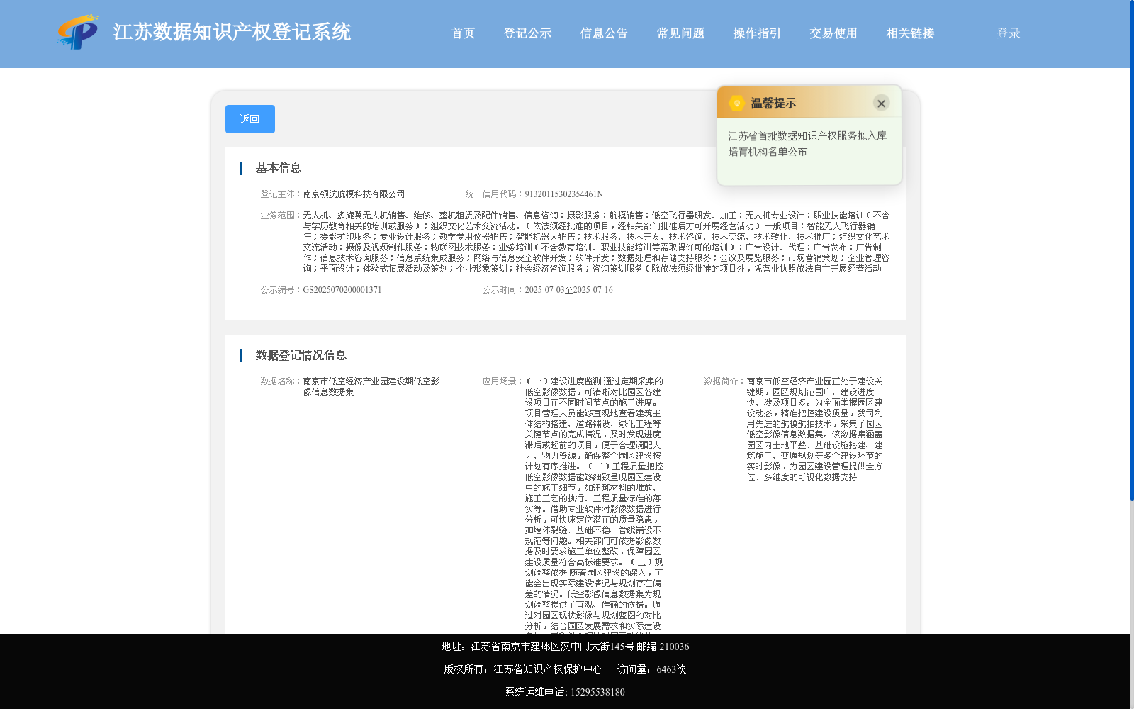
南京市低空经济产业园正处于建设关键期,园区规划范围广、建设进度快、涉及项目多。为全面掌握园区建设动态,精准把控建设质量,我司利用先进的航模航拍技术,采集了园区低空影像信息数据集。该数据集涵盖园区内土地平整、基础设施搭建、建筑施工、交通规划等多个建设环节的实时影像,为园区建设管理提供全方位、多维度的可视化数据支持
Nanjing Low-Altitude Economic Industrial Park is currently in a critical construction phase, featuring a large planning scope, rapid construction progress and numerous involved projects. To comprehensively grasp the construction dynamics of the park and accurately control construction quality, our company has collected a low-altitude aerial image dataset of the park using advanced model aircraft aerial photography technology. This dataset covers real-time images of multiple construction stages including land leveling, infrastructure construction, building construction and traffic planning within the park, providing all-round and multi-dimensional visual data support for park construction management.