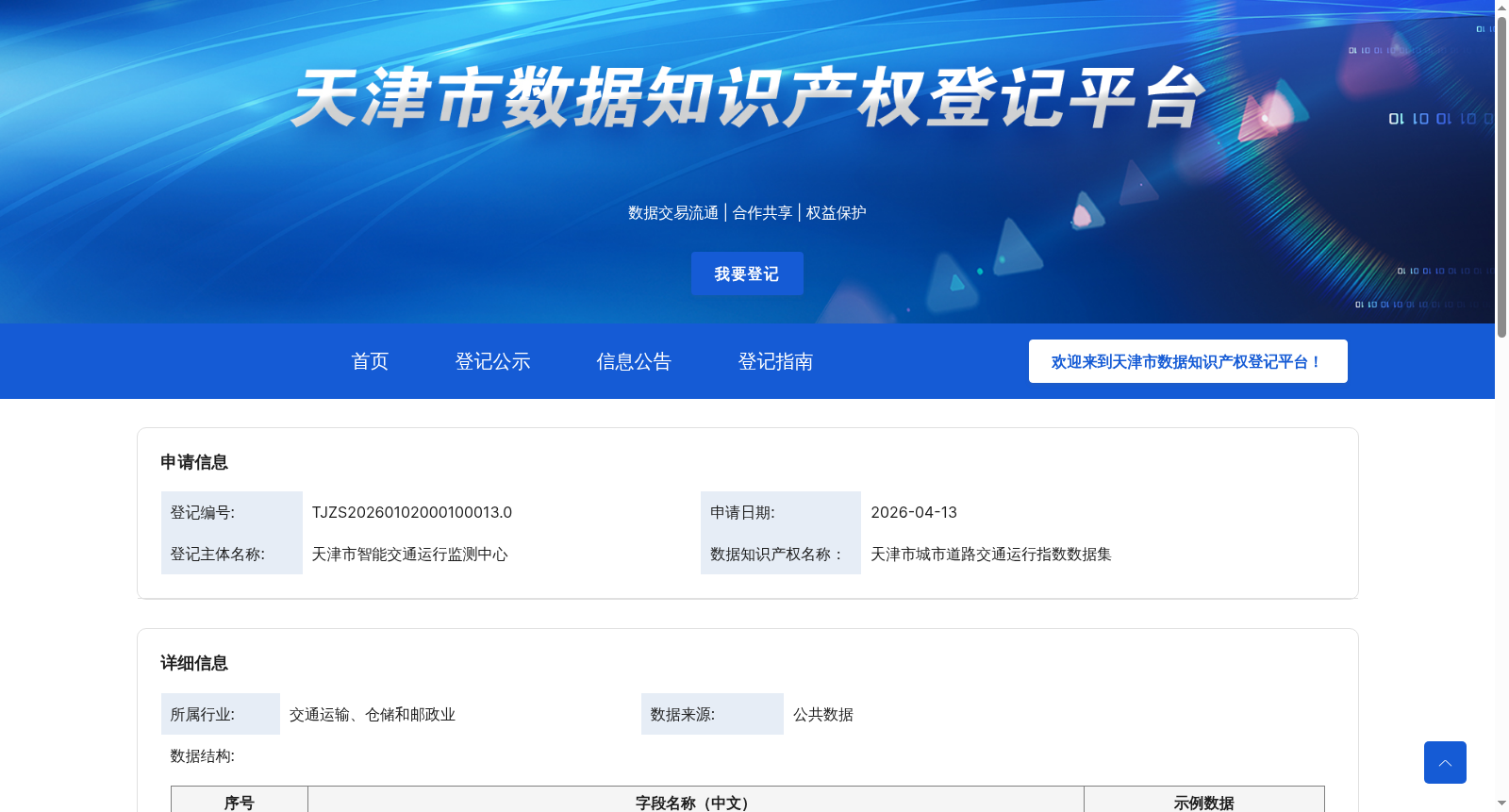
天津市城市道路交通运行指数数据集
收藏资源简介:
通过对出租车卫星定位数据进行清理计算,把天津市域每条道路分解成多条路段,根据车辆在路段的停留时间及连续卫星定位情况,分析该路段的车辆的平均速度,并通过指数计算公式计算该路段的拥堵指数,直观查看城市道路早晚高峰及全天的路段拥堵情况。拥堵情况取值范围为0-10,分为五级,其中0-2、2-4、4-6、6-8、8-10分别对应畅通、基本畅通、轻度拥堵、中度拥堵、严重拥堵五个级别。
By cleaning and processing taxi satellite positioning data, each road within the Tianjin urban area is divided into multiple road segments. Based on the dwell time of vehicles on each segment and their continuous satellite positioning records, the average speed of vehicles on the segment is analyzed, and the congestion index of the segment is calculated via an exponential formula, enabling intuitive viewing of road congestion conditions during morning and evening rush hours and throughout the entire day. The congestion index ranges from 0 to 10 and is categorized into five levels, with 0–2 corresponding to smooth traffic, 2–4 to basically smooth traffic, 4–6 to mild congestion, 6–8 to moderate congestion, and 8–10 to severe congestion respectively.