长江流域河流水系数据集
收藏资源简介:
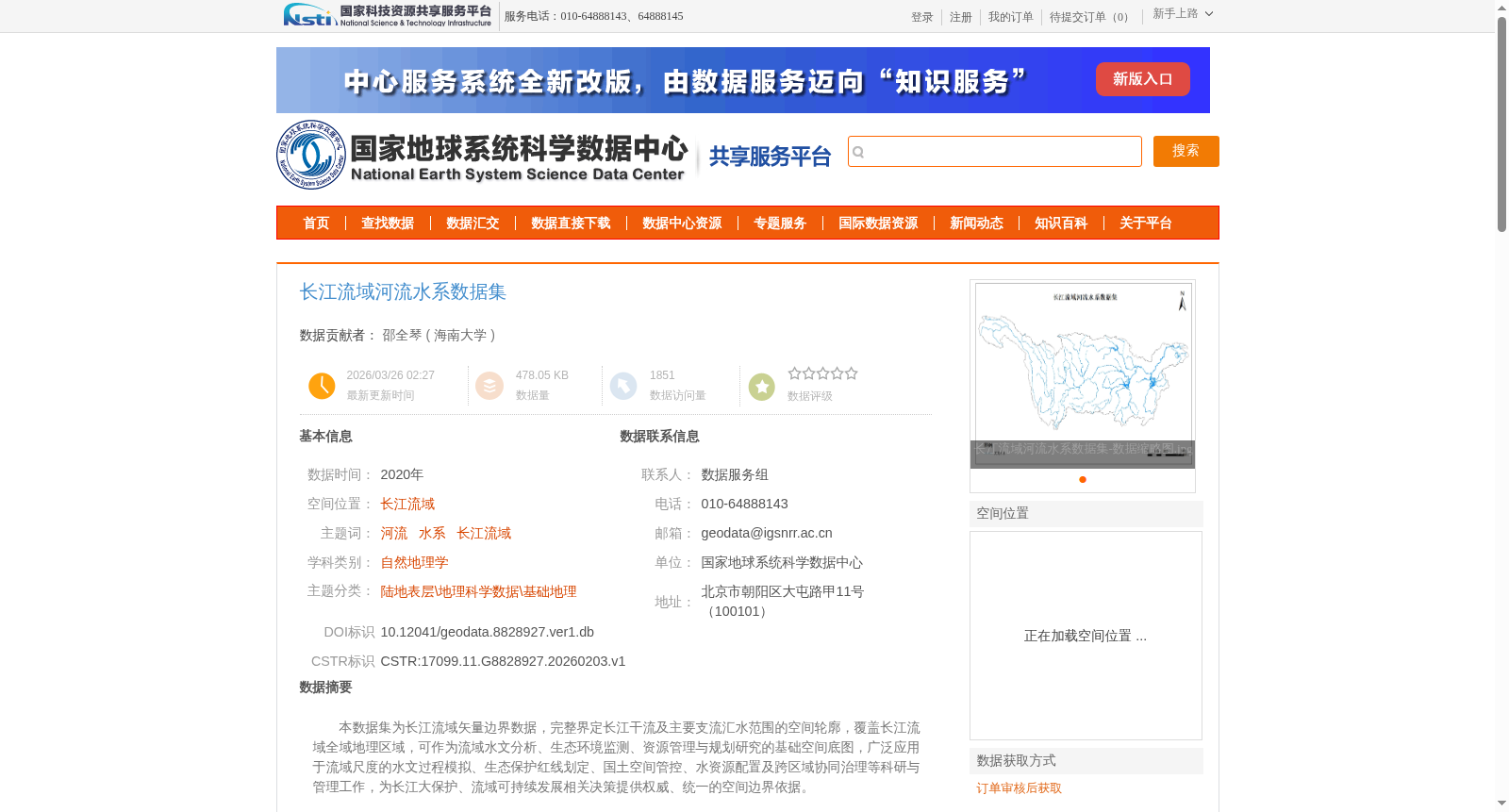
本数据集为长江流域矢量边界数据,完整界定长江干流及主要支流汇水范围的空间轮廓,覆盖长江流域全域地理区域,可作为流域水文分析、生态环境监测、资源管理与规划研究的基础空间底图,广泛应用于流域尺度的水文过程模拟、生态保护红线划定、国土空间管控、水资源配置及跨区域协同治理等科研与管理工作,为长江大保护、流域可持续发展相关决策提供权威、统一的空间边界依据。
This dataset is vector boundary data for the Yangtze River Basin. It fully defines the spatial outline of the water catchment areas of the main stream and major tributaries of the Yangtze River, covering the entire geographical area of the basin. It can serve as a foundational spatial base map for hydrological analysis, ecological environment monitoring, resource management and planning research in river basins. It is widely applied in scientific research and management work including basin-scale hydrological process simulation, demarcation of ecological protection redlines, territorial spatial management and control, water resource allocation, and cross-regional collaborative governance. This dataset provides authoritative and unified spatial boundary basis for decision-making related to the Great Protection of the Yangtze River and basin sustainable development.