2013-2020年喜马拉雅山中段和东段Landsat 8积雪覆盖范围数据
收藏资源简介:
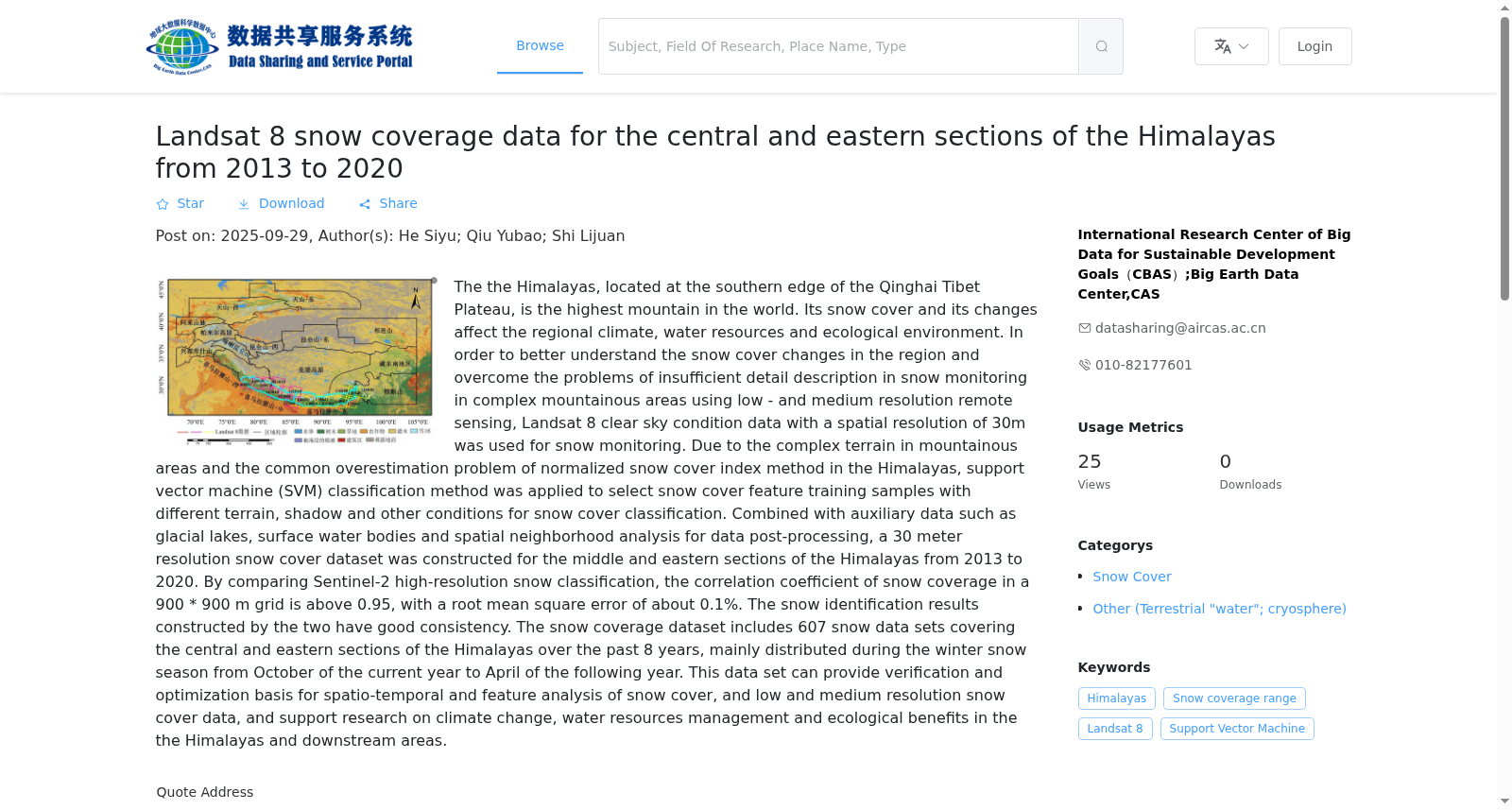
喜马拉雅山脉位于青藏高原南巅边缘,是世界上海拔最高的山脉,其积雪及其变化影响着区域气候、水资源及生态环境。为更好地理解该地区的积雪变化,克服中低分辨率遥感在地形复杂山区积雪监测存在细节描述不足等问题,采用空间分辨率为30m的Landsat 8晴空条件数据开展积雪监测。由于山区地形复杂,针对归一化积雪指数方法在喜马拉雅山的普遍高估问题,应用支持向量机(SVM)分类方法,逐景选取不同地形、阴影等条件的积雪特征训练样本进行积雪分类,结合冰湖、地表水体等辅助数据及空间邻域分析进行数据后处理,构建了喜马拉雅山中段和东段2013–2020年30 m分辨率的积雪数据集。通过对比Sentinel-2高分辨率积雪分类,在900*900 m的网格内,其积雪覆盖率相关系数在0.95以上,均方根误差约0.1%,两者所构建积雪判识结果有较好的一致性。该积雪范围数据集包括覆盖喜马拉雅山中段和东段8年来积雪数据共607景,主要分布在当年10月至次年4月冬季积雪季。本数据集可为积雪时空和特征分析、中低分辨率积雪数据提供验证和优化基础,为喜马拉雅山脉及下游地区的气候变化、水资源管理和生态效益等研究提供支持。
The Himalayas, located on the southern edge of the Tibetan Plateau, are the highest mountain range in the world. Snow cover and its changes in this region exert significant impacts on regional climate, water resources and ecological environment. To better understand snow cover changes in this region and address the issue of insufficient detailed descriptions in snow monitoring over topographically complex mountainous areas using medium- and low-resolution remote sensing, snow monitoring was conducted using cloud-free Landsat 8 data with a spatial resolution of 30 m. Given the complex mountainous terrain and the widespread overestimation problem of the Normalized Difference Snow Index (NDSI) method in the Himalayas, the Support Vector Machine (SVM) classification approach was adopted. Training samples of snow cover features under different terrain, shadow and other conditions were selected per scene for snow cover classification, and data post-processing was performed by combining auxiliary data such as glacial lakes and surface water bodies with spatial neighborhood analysis. Consequently, a 30 m-resolution snow cover dataset spanning 2013–2020 was compiled for the central and eastern sections of the Himalayas. By comparing with high-resolution snow cover classification results from Sentinel-2 within 900×900 m grids, the correlation coefficient of snow cover fraction exceeded 0.95, with a root mean square error (RMSE) of approximately 0.1%, demonstrating good consistency between the two snow cover identification results. This snow cover extent dataset contains a total of 607 scenes of snow cover data covering the central and eastern Himalayas over 8 years, primarily distributed in the winter snow season from October of the current year to April of the following year. This dataset can provide a foundation for the validation and optimization of spatiotemporal and feature analysis of snow cover as well as medium- and low-resolution snow cover data, and support research on climate change, water resources management and ecological benefits in the Himalayas and its downstream regions.