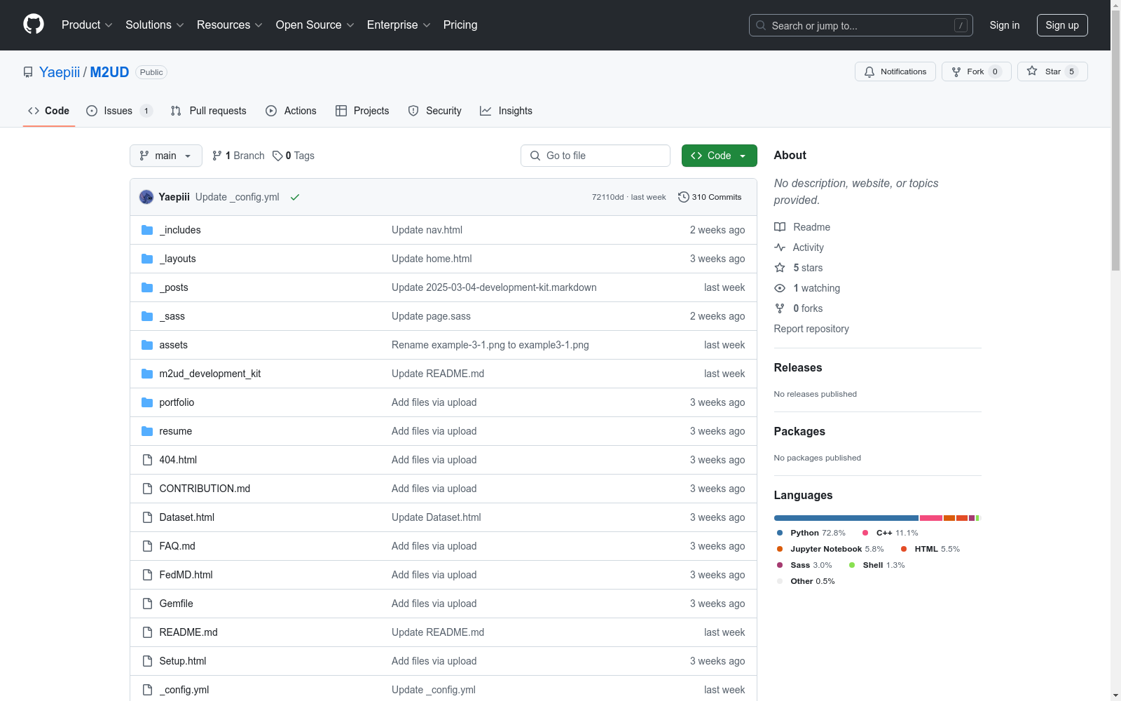
M2UD: A Multi-model, Multi-scenario, Uneven-terrain Dataset for Ground Robot with Localization and Mapping Evaluation
收藏资源简介:
M2UD是一个多模态、多场景、不平坦地形SLAM数据集,适用于地面机器人。该数据集包含多种极具挑战性的环境,如城市、村庄、开阔地、长走廊、广场、地下停车场和混合场景。此外,它还呈现了极端天气条件,如黑暗、烟雾、雪和灰尘。该数据集的激进运动和退化特性不仅对测试和评估现有SLAM方法提出了挑战,还推动了更先进SLAM算法的发展。为了基准测试SLAM算法,M2UD提供了通过实时运动学(RTK)获得的平滑地面真实定位数据,并引入了一种新的定位评估指标,该指标同时考虑了准确性和效率。此外,我们使用高精度毫米级激光扫描仪获取了两个代表性场景的地面真实地图,便于开发和评估地图算法。我们选择了12个定位序列和2个地图序列来评估几种经典的LiDAR和视觉SLAM算法,验证了数据集的可用性。为了提高可用性,数据集还附带了一套开发工具包,包括数据转换、时间戳对齐和地面真实平滑。
M2UD is a multimodal, multi-scenario, uneven terrain SLAM dataset designed for ground robots. This dataset encompasses a variety of highly challenging environments, including urban areas, villages, open fields, long corridors, plazas, underground parking lots, and mixed scenarios. Furthermore, it covers extreme weather conditions such as darkness, smoke, snow, and dust. The aggressive motions and degenerative characteristics of this dataset not only pose challenges for testing and evaluating existing SLAM methods but also promote the development of more advanced SLAM algorithms. For benchmarking SLAM algorithms, M2UD provides smooth ground-truth positioning data obtained via Real-Time Kinematic (RTK), and introduces a novel positioning evaluation metric that considers both accuracy and efficiency. Additionally, we obtained ground-truth maps of two representative scenarios using high-precision millimeter-level laser scanners, facilitating the development and evaluation of mapping algorithms. We selected 12 positioning sequences and 2 mapping sequences to evaluate several classic LiDAR and visual SLAM algorithms, verifying the availability of the dataset. To enhance usability, the dataset also includes a comprehensive development toolkit covering data conversion, timestamp alignment, and ground-truth smoothing.
M2UD数据集概述
数据集简介
- 全称:Multi-model, Multi-scenario, Uneven-terrain Dataset (M2UD)
- 类型:多模态、多场景、不平坦地形SLAM数据集
- 适用对象:地面机器人定位与建图算法评估
核心特点
-
环境多样性:
- 城市、乡村、开阔场地
- 长廊、广场、地下停车场
- 混合场景
-
极端条件:
- 黑暗环境
- 烟雾、雪、灰尘等恶劣天气
-
数据特性:
- 包含激进运动模式
- 具有退化特征
基准数据
-
定位数据:
- 采用RTK(实时动态定位)技术获取平滑真值
- 提出新型定位评估指标(同时考虑精度和效率)
-
建图数据:
- 使用毫米级高精度激光扫描仪获取
- 包含2个代表性场景的真值地图
评估序列
- 12个定位序列
- 2个建图序列
开发工具包
- 数据转换工具
- 时间戳对齐工具
- 地面真值平滑工具
应用验证
- 已用于评估多个经典LiDAR和视觉SLAM算法
- 验证了数据集的可用性