祁连山地区日值0.05°×0.05°地表土壤水分数据(2018,SMHiRes, V1)
收藏资源简介:
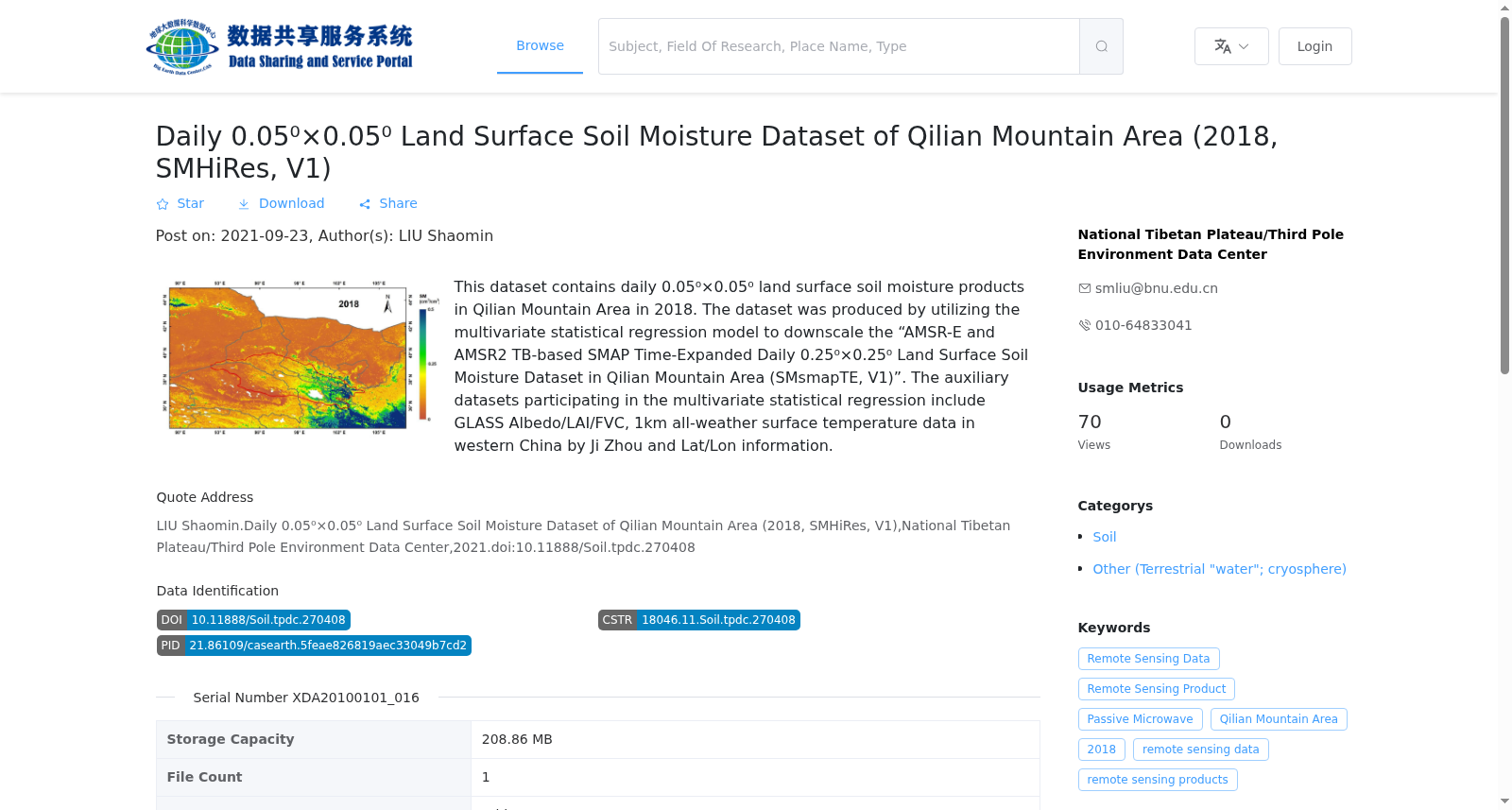
本数据集包括祁连山地区2018年日值0.05°×0.05°地表土壤水分产品。采用多元统计回归模型,通过对“祁连山地区基于AMSR-E和AMSR2亮温数据的SMAP时间扩展日0.25°×0.25°地表土壤水分数据(SMsmapTE, V1)”进行降尺度,得到0.05°×0.05°地表土壤水分产品。参与多元统计回归的数据包括GLASS Albedo/LAI/FVC,周纪-中国西部1km全天候地表温度数据(V1),以及经/纬度等信息。
This dataset contains the daily 0.05°×0.05° surface soil moisture product over the Qilian Mountains region in 2018. It was downscaled from the "SMAP temporally extended daily 0.25°×0.25° surface soil moisture data over the Qilian Mountains region based on AMSR-E and AMSR2 brightness temperature data (SMsmapTE, V1)" using a multivariate statistical regression model. The data used for the multivariate statistical regression include GLASS Albedo/LAI/FVC, Zhou Ji's 1 km all-weather surface temperature dataset over western China (V1), as well as longitude and latitude information.