神马勘测土地资源外业调查模型
收藏资源简介:
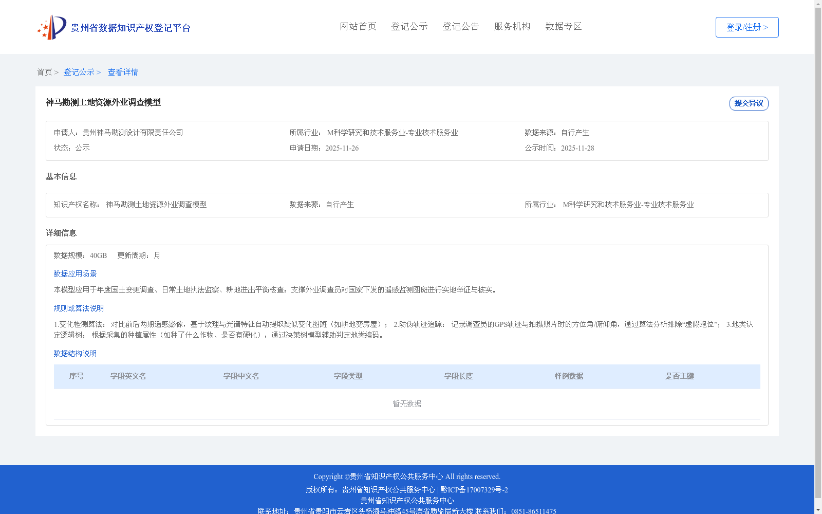
1.变化检测算法: 对比前后两期遥感影像,基于纹理与光谱特征自动提取疑似变化图斑(如耕地变房屋); 2.防伪轨迹追踪: 记录调查员的GPS轨迹与拍摄照片时的方位角/俯仰角,通过算法分析排除“虚假跑位”; 3.地类认定逻辑树: 根据采集的种植属性(如种了什么作物、是否有硬化),通过决策树模型辅助判定地类编码。
1. Change Detection Algorithm: Compare two temporal remote sensing images, and automatically extract suspected change patches (e.g., cropland converted to buildings) based on texture and spectral features; 2. Anti-counterfeit Trajectory Tracking: Record the GPS trajectories of surveyors and the azimuth and pitch angles when taking photos, and exclude "false patrol positions" via algorithmic analysis; 3. Land Type Identification Logic Tree: Based on collected planting attributes (e.g., what crops are planted, whether the land is hardened), use a decision tree model to assist in determining land type codes.