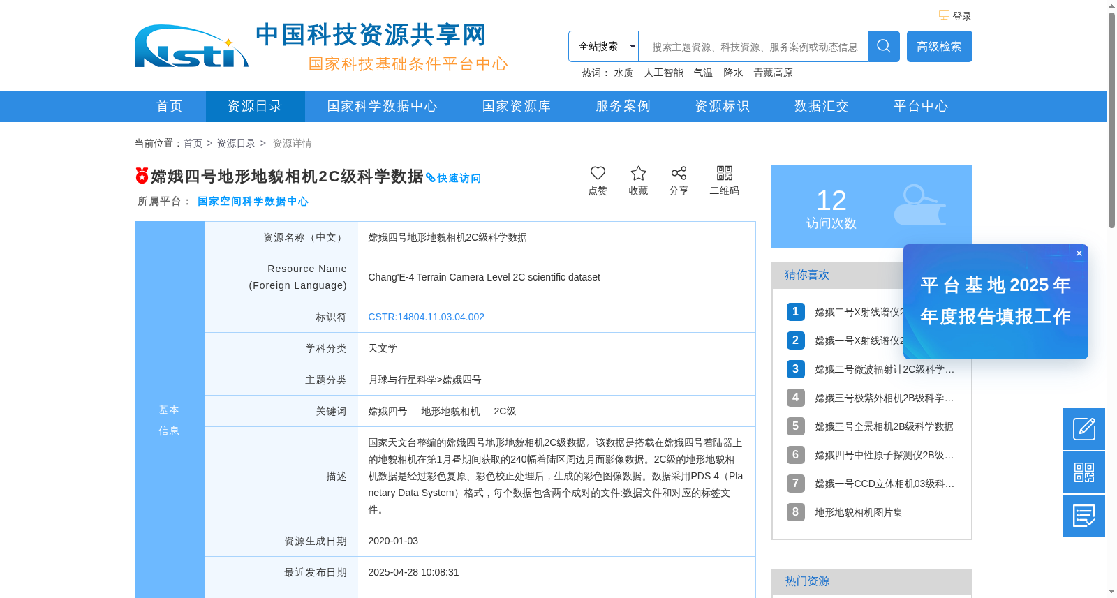
嫦娥四号地形地貌相机2C级科学数据
收藏资源简介:
国家天文台整编的嫦娥四号地形地貌相机2C级数据。该数据是搭载在嫦娥四号着陆器上的地貌相机在第1月昼期间获取的240幅着陆区周边月面影像数据。2C级的地形地貌相机数据是经过彩色复原、彩色校正处理后,生成的彩色图像数据。数据采用PDS 4(Planetary Data System)格式,每个数据包含两个成对的文件:数据文件和对应的标签文件。
The Level 2C terrain and topography camera data of Chang'e-4, compiled and curated by the National Astronomical Observatories, Chinese Academy of Sciences. This dataset includes 240 lunar surface images covering the vicinity of the landing zone, acquired by the terrain and topography camera mounted on the Chang'e-4 lander during the first lunar day. The Level 2C terrain and topography camera data are color image products generated through color restoration and color correction processing. All data adhere to the PDS 4 (Planetary Data System) format, with each dataset containing two paired files: a data file and its corresponding label file.