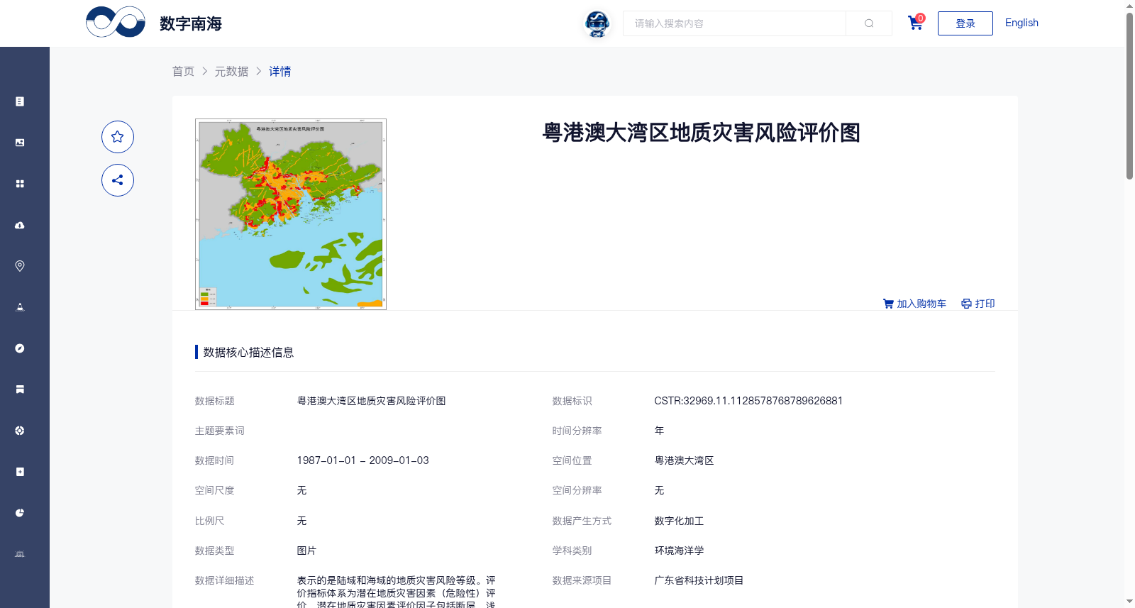
粤港澳大湾区地质灾害风险评价图
收藏资源简介:
表示的是陆域和海域的地质灾害风险等级。评价指标体系为潜在地质灾害因素(危险性)评价,潜在地质灾害因素评价因子包括断层、浅层气等30种。首先对区域进行2km×2km的网格划分,利用层次分析法(AHP)结合专家意见确定参与评价的各因子指标权重。得出每个网格内加权综合评价指数,再对得出的综合评价指数分级,划分为低度风险、中度风险、较高风险三类。
This dataset represents the risk levels of geological disasters in terrestrial and marine regions. The evaluation index system is established for assessing potential geological disaster factors (hazard). The evaluation factors for potential geological disasters include 30 types such as faults and shallow gas. First, the study area is divided into 2 km × 2 km grids. The weights of each evaluation factor are determined via the Analytic Hierarchy Process (AHP) combined with expert opinions. The weighted comprehensive evaluation index for each grid is then calculated. Subsequently, the obtained comprehensive evaluation indices are classified into three risk categories: low risk, moderate risk, and relatively high risk.