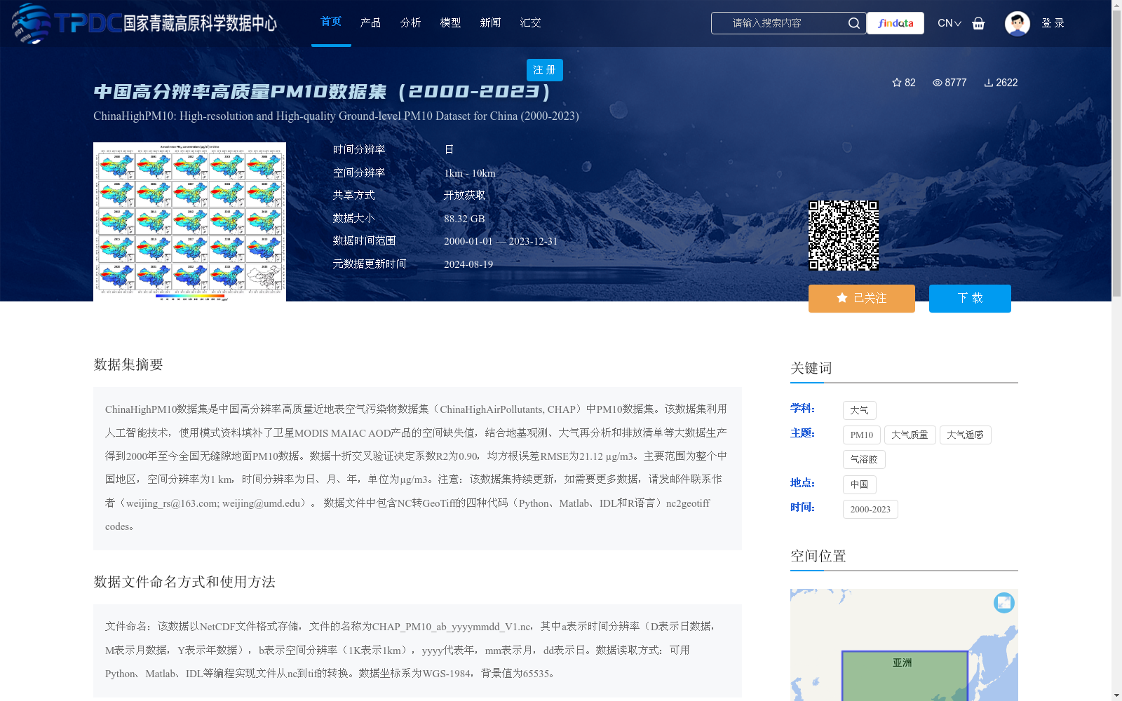
中国高分辨率高质量PM10数据集(2000-2023)
收藏资源简介:
ChinaHighPM10数据集是中国高分辨率高质量近地表空气污染物数据集(ChinaHighAirPollutants, CHAP)中PM10数据集。该数据集利用人工智能技术,使用模式资料填补了卫星MODIS MAIAC AOD产品的空间缺失值,结合地基观测、大气再分析和排放清单等大数据生产得到2000年至今全国无缝隙地面PM10数据。数据十折交叉验证决定系数R2为0.90,均方根误差RMSE为21.12 µg/m3。主要范围为整个中国地区,空间分辨率为1 km,时间分辨率为日、月、年,单位为µg/m3。注意:该数据集持续更新,如需要更多数据,请发邮件联系作者(weijing_rs@163.com; weijing@umd.edu)。 数据文件中包含NC转GeoTiff的四种代码(Python、Matlab、IDL和R语言)nc2geotiff codes。
The ChinaHighPM10 dataset is the PM10 component of the ChinaHighAirPollutants (CHAP) dataset, a high-resolution, high-quality near-surface air pollutant dataset for China. This dataset leverages artificial intelligence technologies to fill the spatial missing values in the satellite MODIS MAIAC AOD product using model data, and integrates ground-based observations, atmospheric reanalysis datasets, emission inventories and other big data to generate seamless nationwide ground-level PM10 data from 2000 to the present. The 10-fold cross-validation results show a coefficient of determination (R²) of 0.90 and a root mean square error (RMSE) of 21.12 µg/m³. The dataset covers the entire territory of China, with a spatial resolution of 1 km, temporal resolutions of daily, monthly and annual scales, and the unit is µg/m³. Note: This dataset is continuously updated. If you require additional data, please contact the authors via email at weijing_rs@163.com or weijing@umd.edu. The data package includes four sets of nc2geotiff conversion codes implemented in Python, Matlab, IDL and R languages for converting NC files to GeoTIFF format.